Williston night lights from space
Night Light of Williston (North Dakota) from space (United States) Src. Average luminocity for 10x10km area is 43.9926% and for 50x50km: 7.2208%.
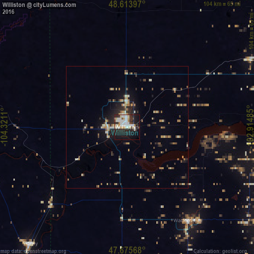
Analysis of Williston night lights 2016
Square area 10x10 km:
 11.76%
90-99
12.05%80-89
6.1%70-79
2.98%60-69
1.34%50-59
0.89%40-49
1.79%30-39
4.46%20-29
19.35%10-19
29.02%0-9
10.27%Square area 50x50 km:
0.58%90-99
1.31%80-89
0.8%70-79
0.92%60-69
1%50-59
0.72%40-49
1.01%30-39
1.1%20-29
2.38%10-19
4.11%0-9
86.08%Clear (daylight) street map image can be seen on geolist.org.
Map coordinates:
48° 36' 50.3" North, 104° 19' 16" West
48° 8' 49.1" North, 103° 37' 4.7" West
47° 40' 32.4" North, 102° 54' 53.5" West
Some cities around Williston sort by population:
• Minot
172.4 km =107.1 mi,  86°
86°
• Dickinson
154.1 km =95.8 mi,  156°
156°
• Estevan, CA
119.2 km =74.1 mi,  23°
23°
• Weyburn, CA
169.8 km =105.5 mi,  354°
354°
• Sidney
62.4 km =38.8 mi,  219°
219°
• Watford City
45.7 km =28.4 mi,  146°
146°
• Minot Air Force Base
171.3 km =106.4 mi,  79°
79°
• Glendive
141.9 km =88.2 mi, 215°
5692947 (p: 26,977)
Sources (retrieved 2019-11-25):
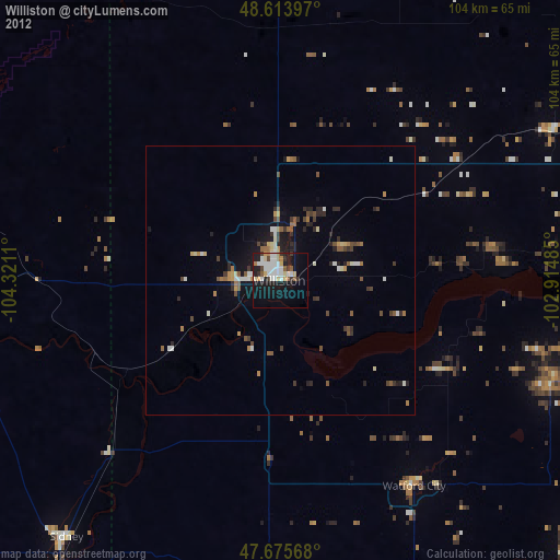
» Earth at Night: Flat Maps 2012, 2016