Glendive night lights from space
Night Light of Glendive (Montana) from space (United States) Src. Average luminocity for 10x10km area is 15.9773% and for 50x50km: 0.7181%.
Analysis of Glendive night lights 2016
Square area 10x10 km:
 1.56%
1.56%90-99
1.85%80-89
1.28%70-79
3.84%60-69
2.84%50-59
1.7%40-49
2.7%30-39
1.85%20-29
0.57%10-19
6.96%0-9
74.86%Square area 50x50 km:
0.06%90-99
0.08%80-89
0.05%70-79
0.18%60-69
0.12%50-59
0.07%40-49
0.11%30-39
0.08%20-29
0.05%10-19
0.29%0-9
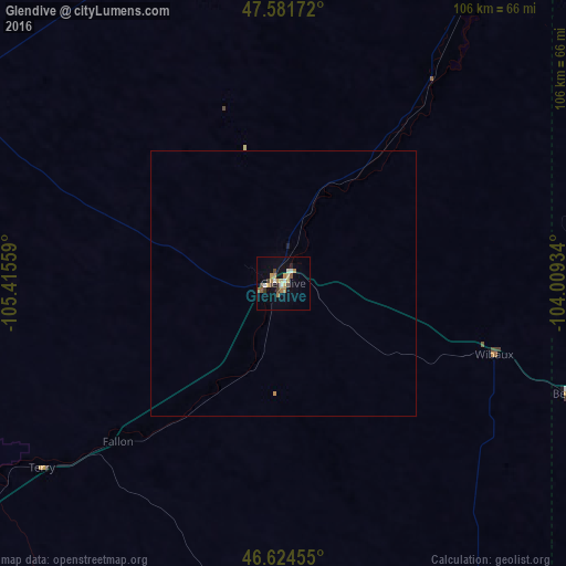
98.92%Clear (daylight) street map image can be seen on geolist.org.
Map coordinates:
47° 34' 54.2" North, 105° 24' 56.1" West
47° 6' 19" North, 104° 42' 44.9" West
46° 37' 28.4" North, 104° 0' 33.6" West
Some cities around Glendive sort by population:
• Minot
284.8 km =177 mi,  63°
63°
• Williston
141.9 km =88.2 mi,  35°
35°
• Dickinson
148 km =92 mi,  99°
99°
• Estevan, CA
259.4 km =161.2 mi,  29°
29°
• Miles City
115.7 km =71.9 mi,  227°
227°
• Sidney
79.8 km =49.6 mi, 31°
• Watford City
132.5 km =82.3 mi,  54°
54°
• Belle Fourche
278.7 km =173.2 mi,  166°
166°
5654391 (p: 5,490)
Sources (retrieved 2019-11-25):
» Earth at Night: Flat Maps 2012, 2016