Sidney night lights from space
Night Light of Sidney (Montana) from space (United States) Src. Average luminocity for 10x10km area is 18.5238% and for 50x50km: 1.3493%.
Analysis of Sidney night lights 2016
Square area 10x10 km:
 1.93%
1.93%90-99
3.42%80-89
2.68%70-79
2.98%60-69
2.23%50-59
2.23%40-49
2.38%30-39
0.45%20-29
1.34%10-19
12.35%0-9
68.01%Square area 50x50 km:
0.08%90-99
0.18%80-89
0.34%70-79
0.16%60-69
0.16%50-59
0.16%40-49
0.18%30-39
0.16%20-29
0.1%10-19
0.51%0-9
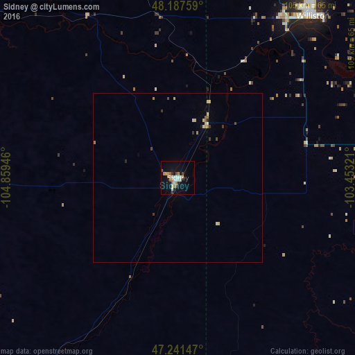
97.97%Clear (daylight) street map image can be seen on geolist.org.
Map coordinates:
48° 11' 15.3" North, 104° 51' 34.1" West
47° 43' 0" North, 104° 9' 22.8" West
47° 14' 29.3" North, 103° 27' 11.6" West
Some cities around Sidney sort by population:
• Minot
220.5 km =137 mi,  74°
74°
• Williston
62.4 km =38.8 mi,  39°
39°
• Dickinson
138.9 km =86.3 mi,  132°
132°
• Estevan, CA
179.7 km =111.7 mi,  28°
28°
• Weyburn, CA
218 km =135.5 mi,  5°
5°
• Miles City
193.5 km =120.2 mi,  221°
221°
• Watford City
65.9 km =40.9 mi,  81°
81°
• Glendive
79.8 km =49.6 mi,  211°
211°
5677735 (p: 6,828)
Sources (retrieved 2019-11-25):
» Earth at Night: Flat Maps 2012, 2016