Minot night lights from space
Night Light of Minot (North Dakota) from space (United States) Src. Average luminocity for 10x10km area is 62.4196% and for 50x50km: 4.5532%.
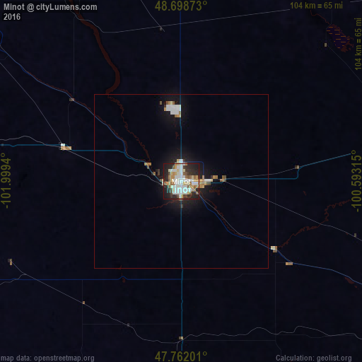
Analysis of Minot night lights 2016
Square area 10x10 km:
 17.56%
90-99
17.56%80-89
7.74%70-79
5.21%60-69
6.1%50-59
7.44%40-49
3.72%30-39
4.17%20-29
19.64%10-19
10.71%0-9
0.15%Square area 50x50 km:
0.95%90-99
0.98%80-89
0.41%70-79
0.41%60-69
0.48%50-59
0.48%40-49
0.32%30-39
0.33%20-29
1.17%10-19
3.68%0-9
90.81%Clear (daylight) street map image can be seen on geolist.org.
Map coordinates:
48° 41' 55.4" North, 101° 59' 57.8" West
48° 13' 57" North, 101° 17' 46.6" West
47° 45' 43.2" North, 100° 35' 35.3" West
Some cities around Minot sort by population:
• Bismarck
163 km =101.3 mi,  166°
166°
• Williston
172.4 km =107.1 mi,  266°
266°
• Brandon, CA
204.5 km =127.1 mi,  28°
28°
• Dickinson
187.6 km =116.6 mi,  216°
216°
• Mandan
159.3 km =99 mi, 168°
• Estevan, CA
159.3 km =99 mi,  308°
308°
• Devils Lake
180.8 km =112.3 mi,  94°
94°
• Watford City
155.3 km =96.5 mi,  252°
252°
5690532 (p: 49,450)
Sources (retrieved 2019-11-25):
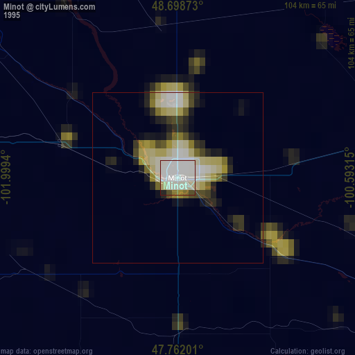
» NASA, Earths city lights 1995
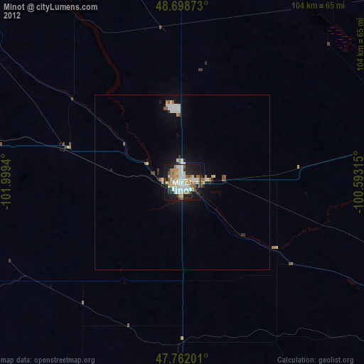
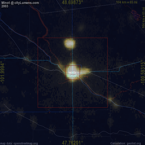
» NASA city lights 2003
» Earth at Night: Flat Maps 2012, 2016