Mandan night lights from space
Night Light of Mandan (North Dakota) from space (United States) Src. Average luminocity for 10x10km area is 44.7217% and for 50x50km: 6.3208%.
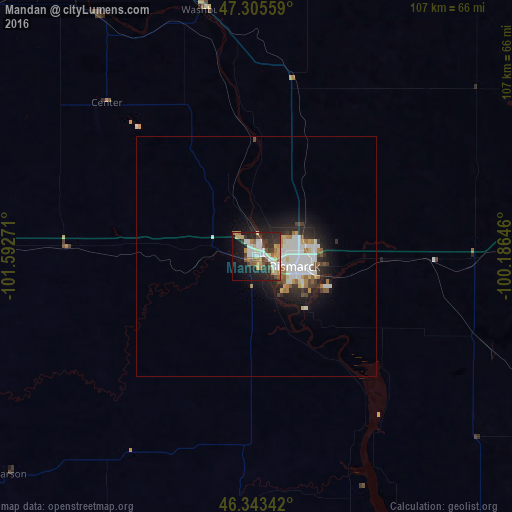
Analysis of Mandan night lights 2016
Square area 10x10 km:
 8.78%
8.78%90-99
7.89%80-89
5.65%70-79
7.14%60-69
4.91%50-59
5.06%40-49
4.32%30-39
9.52%20-29
15.92%10-19
18.9%0-9
11.9%Square area 50x50 km:
1.44%90-99
1.49%80-89
0.5%70-79
0.6%60-69
0.61%50-59
0.65%40-49
0.46%30-39
0.83%20-29
1.92%10-19
3.84%0-9
87.66%Clear (daylight) street map image can be seen on geolist.org.
Map coordinates:
47° 18' 20.1" North, 101° 35' 33.8" West
46° 49' 36" North, 100° 53' 22.5" West
46° 20' 36.3" North, 100° 11' 11.3" West
Some cities around Mandan sort by population:
• Bismarck
8.3 km =5.2 mi,  104°
104°
• Minot
159.3 km =99 mi,  348°
348°
• Dickinson
144.6 km =89.9 mi,  272°
272°
• Jamestown
166.1 km =103.2 mi,  86°
86°
• Devils Lake
208.8 km =129.7 mi,  46°
46°
• Watford City
210.5 km =130.8 mi,  301°
301°
• Valley City
219.6 km =136.5 mi, 87°
• Minot Air Force Base
180.4 km =112.1 mi, 349°
5690366 (p: 21,382)
Sources (retrieved 2019-11-25):
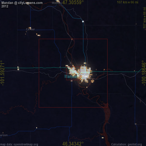
» Earth at Night: Flat Maps 2012, 2016