Wheeling night lights from space
Night Light of Wheeling (Illinois) from space (United States) Src. Average luminocity for 10x10km area is 89.8015% and for 50x50km: 65.8605%.
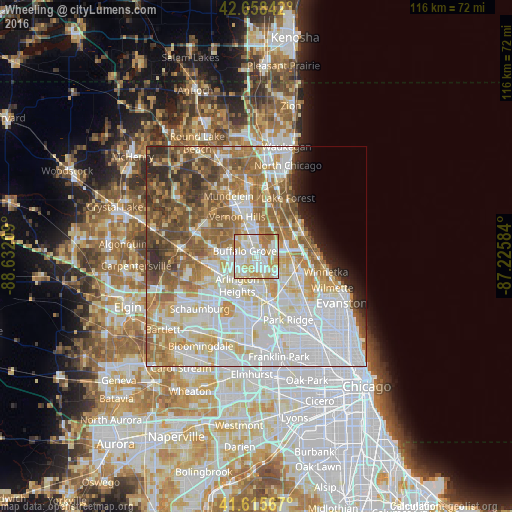
Analysis of Wheeling night lights 2016
Square area 10x10 km:
 25.76%
90-99
33.94%80-89
20.3%70-79
10.45%60-69
9.55%50-59
0%40-49
0%30-39
0%20-29
0%10-19
0%0-9
0%Square area 50x50 km:
21.91%90-99
15.06%80-89
8.97%70-79
7.57%60-69
9.78%50-59
8.47%40-49
5.89%30-39
3.24%20-29
3.7%10-19
2.51%0-9
12.9%Clear (daylight) street map image can be seen on geolist.org.
Map coordinates:
42° 39' 30.3" North, 88° 37' 55.5" West
42° 8' 21.1" North, 87° 55' 44.3" West
41° 36' 56.4" North, 87° 13' 33" West
Some cities around Wheeling sort by population:
• Arlington Heights
7.1 km =4.4 mi,  217°
217°
• Mount Prospect
8.1 km =5 mi,  184°
184°
• Buffalo Grove
2.9 km =1.8 mi,  298°
298°
• Northbrook
8.3 km =5.2 mi,  98°
98°
• Deerfield
7.8 km =4.8 mi,  62°
62°
• Prospect Heights
4.9 km =3 mi,  188°
188°
• Long Grove
7.2 km =4.5 mi,  307°
307°
• Lincolnshire
5.9 km =3.7 mi,  16°
16°
4916311 (p: 38,079)
Sources (retrieved 2019-11-25):
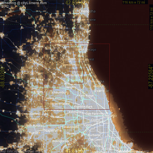
» Earth at Night: Flat Maps 2012, 2016