Covington night lights from space
Night Light of Covington (Kentucky) from space (United States) Src. Average luminocity for 10x10km area is 92.2565% and for 50x50km: 55.5093%.
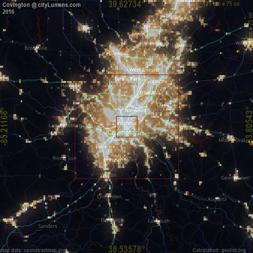
Analysis of Covington night lights 2016
Square area 10x10 km:
 36.69%
90-99
30.03%80-89
16.56%70-79
14.94%60-69
1.79%50-59
0%40-49
0%30-39
0%20-29
0%10-19
0%0-9
0%Square area 50x50 km:
11.17%90-99
12.06%80-89
7.77%70-79
10.11%60-69
10.81%50-59
9.01%40-49
4.76%30-39
4.26%20-29
6.32%10-19
8.21%0-9
15.54%Clear (daylight) street map image can be seen on geolist.org.
Map coordinates:
39° 37' 38.4" North, 85° 12' 42" West
39° 5' 1.2" North, 84° 30' 30.8" West
38° 32' 8.8" North, 83° 48' 19.5" West
Some cities around Covington sort by population:
• Cincinnati
4.9 km =3 mi,  354°
354°
• Fort Thomas
5.4 km =3.4 mi,  100°
100°
• Newport
1.4 km =0.9 mi,  51°
51°
• Fort Mitchell
4.3 km =2.7 mi,  231°
231°
• Highland Heights
7.5 km =4.7 mi,  138°
138°
• Bellevue
3.6 km =2.2 mi, 45°
• Fort Wright
4.2 km =2.6 mi,  211°
211°
• Dayton
4.5 km =2.8 mi,  43°
43°
4288809 (p: 40,997)
Sources (retrieved 2019-11-25):
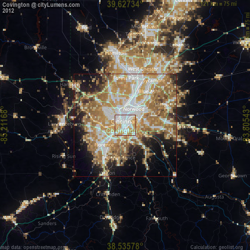
» Earth at Night: Flat Maps 2012, 2016