Cincinnati night lights from space
Night Light of Cincinnati (Ohio) from space (United States) Src. Average luminocity for 10x10km area is 96.7143% and for 50x50km: 59.7704%.
Analysis of Cincinnati night lights 2016
Square area 10x10 km:
 54.06%
90-99
31.98%80-89
9.58%70-79
4.38%60-69
0%50-59
0%40-49
0%30-39
0%20-29
0%10-19
0%0-9
0%Square area 50x50 km:
12.43%90-99
13.24%80-89
8.31%70-79
11.28%60-69
11.59%50-59
9.5%40-49
4.74%30-39
4.26%20-29
5.85%10-19
7.65%0-9
11.13%Clear (daylight) street map image can be seen on geolist.org.
Map coordinates:
39° 40' 13.6" North, 85° 13' 3.1" West
39° 7' 37.6" North, 84° 30' 51.8" West
38° 34' 46.4" North, 83° 48' 40.6" West
Some cities around Cincinnati sort by population:
• Covington
4.9 km =3 mi,  174°
174°
• Norwood
5.7 km =3.5 mi,  56°
56°
• Fort Thomas
8.2 km =5.1 mi,  134°
134°
• Newport
4.3 km =2.7 mi,  157°
157°
• Fort Mitchell
8 km =5 mi,  200°
200°
• Covedale
8 km =5 mi,  265°
265°
• Bellevue
3.8 km =2.4 mi, 126°
• Dayton
3.9 km =2.4 mi,  113°
113°
4508722 (p: 296,943)
Sources (retrieved 2019-11-25):
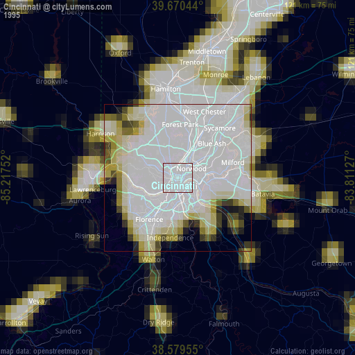
» NASA, Earths city lights 1995
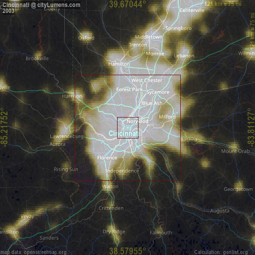
» NASA city lights 2003
» Earth at Night: Flat Maps 2012, 2016