Darien night lights from space
Night Light of Darien (Illinois) from space (United States) Src. Average luminocity for 10x10km area is 87.6315% and for 50x50km: 87.5877%.
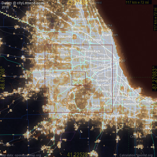
Analysis of Darien night lights 2016
Square area 10x10 km:
 21.43%
90-99
24.51%80-89
30.84%70-79
16.56%60-69
5.36%50-59
1.3%40-49
0%30-39
0%20-29
0%10-19
0%0-9
0%Square area 50x50 km:
35.81%90-99
22.22%80-89
13.9%70-79
11.93%60-69
9.73%50-59
4.87%40-49
1%30-39
0.39%20-29
0.15%10-19
0%0-9
0%Clear (daylight) street map image can be seen on geolist.org.
Map coordinates:
42° 16' 27.8" North, 88° 40' 37.5" West
41° 45' 7.1" North, 87° 58' 26.2" West
41° 13' 31" North, 87° 16' 15" West
Some cities around Darien sort by population:
• Downers Grove
7 km =4.3 mi,  334°
334°
• Woodridge
6.4 km =4 mi,  264°
264°
• Westmont
4.9 km =3 mi,  358°
358°
• Hinsdale
6.2 km =3.9 mi,  29°
29°
• Burr Ridge
4.6 km =2.9 mi,  94°
94°
• Clarendon Hills
5.3 km =3.3 mi,  17°
17°
• Willowbrook
3.7 km =2.3 mi,  57°
57°
• Countryside
8.7 km =5.4 mi,  66°
66°
4889447 (p: 22,256)
Sources (retrieved 2019-11-25):
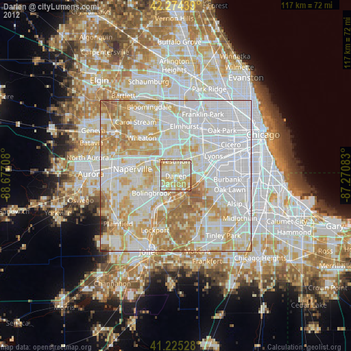
» Earth at Night: Flat Maps 2012, 2016