Countryside night lights from space
Night Light of Countryside (Illinois) from space (United States) Src. Average luminocity for 10x10km area is 95.1802% and for 50x50km: 89.5476%.
Analysis of Countryside night lights 2016
Square area 10x10 km:
 42.05%
90-99
37.18%80-89
13.31%70-79
6.98%60-69
0.49%50-59
0%40-49
0%30-39
0%20-29
0%10-19
0%0-9
0%Square area 50x50 km:
44.88%90-99
21.91%80-89
11.67%70-79
8.62%60-69
6.26%50-59
3.9%40-49
1.31%30-39
0.47%20-29
0.35%10-19
0.4%0-9
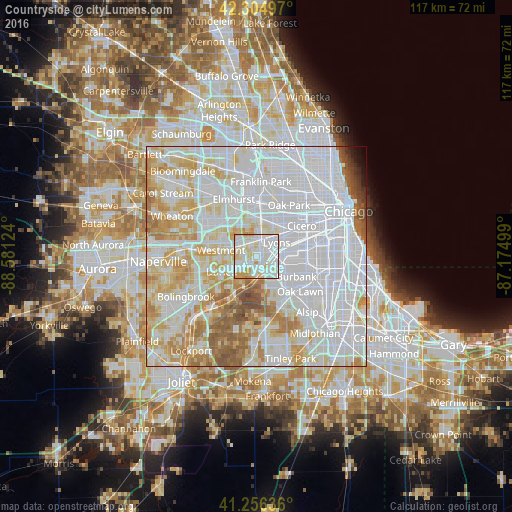
0.25%Clear (daylight) street map image can be seen on geolist.org.
Map coordinates:
42° 18' 17.9" North, 88° 34' 52.5" West
41° 46' 58.1" North, 87° 52' 41.2" West
41° 15' 22.9" North, 87° 10' 30" West
Some cities around Countryside sort by population:
• Brookfield
5.1 km =3.2 mi,  25°
25°
• Hinsdale
5.3 km =3.3 mi,  292°
292°
• La Grange
2.6 km =1.6 mi,  16°
16°
• Western Springs
3.5 km =2.2 mi,  328°
328°
• Justice
5.4 km =3.4 mi,  141°
141°
• Burr Ridge
5 km =3.1 mi,  221°
221°
• Willowbrook
5 km =3.1 mi,  253°
253°
• Willow Springs
4.9 km =3 mi,  162°
162°
4888906 (p: 6,002)
Sources (retrieved 2019-11-25):
» Earth at Night: Flat Maps 2012, 2016