Westmont night lights from space
Night Light of Westmont (Illinois) from space (United States) Src. Average luminocity for 10x10km area is 92.2808% and for 50x50km: 88.359%.
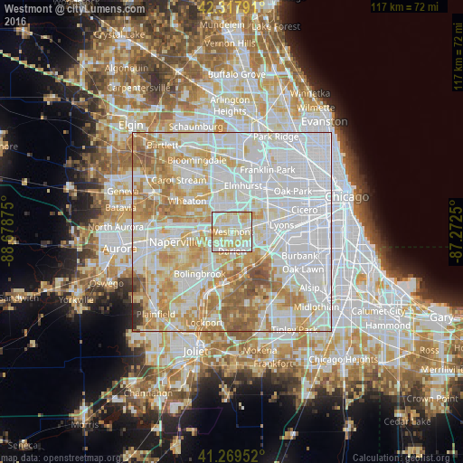
Analysis of Westmont night lights 2016
Square area 10x10 km:
 28.25%
90-99
32.14%80-89
33.77%70-79
5.84%60-69
0%50-59
0%40-49
0%30-39
0%20-29
0%10-19
0%0-9
0%Square area 50x50 km:
38.18%90-99
22.53%80-89
13.46%70-79
10.82%60-69
9.13%50-59
4.24%40-49
1.03%30-39
0.38%20-29
0.24%10-19
0%0-9
0%Clear (daylight) street map image can be seen on geolist.org.
Map coordinates:
42° 19' 4.5" North, 88° 40' 43.5" West
41° 47' 45.1" North, 87° 58' 32.2" West
41° 16' 10.3" North, 87° 16' 21" West
Some cities around Westmont sort by population:
• Downers Grove
3.3 km =2.1 mi,  296°
296°
• Darien
4.9 km =3 mi,  178°
178°
• Hinsdale
3.2 km =2 mi,  80°
80°
• Western Springs
6.4 km =4 mi, 76°
• Burr Ridge
7.1 km =4.4 mi,  137°
137°
• Clarendon Hills
1.7 km =1.1 mi, 83°
• Willowbrook
4.4 km =2.7 mi,  131°
131°
• Oak Brook
5.6 km =3.5 mi,  43°
43°
4916207 (p: 24,941)
Sources (retrieved 2019-11-25):
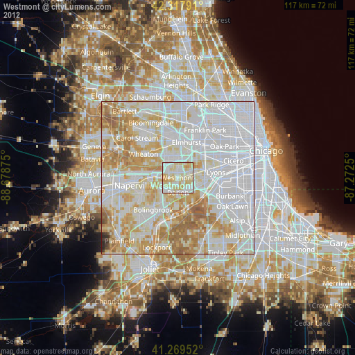
» Earth at Night: Flat Maps 2012, 2016