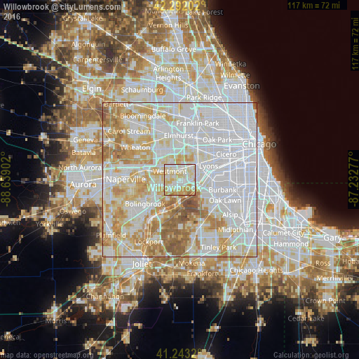
Willowbrook night lights from space
Night Light of Willowbrook (Illinois) from space (United States) Src. Average luminocity for 10x10km area is 90.4838% and for 50x50km: 89.5021%.
Analysis of Willowbrook night lights 2016
Square area 10x10 km:
 27.44%
90-99
29.38%80-89
25.97%70-79
13.31%60-69
3.57%50-59
0.32%40-49
0%30-39
0%20-29
0%10-19
0%0-9
0%Square area 50x50 km:
41.23%90-99
21.97%80-89
13.29%70-79
10.65%60-69
8.11%50-59
4.04%40-49
0.7%30-39
0.02%20-29
0%10-19
0%0-9
0%Clear (daylight) street map image can be seen on geolist.org.
Map coordinates:
42° 17' 31.3" North, 88° 38' 20.5" West
41° 46' 11.1" North, 87° 56' 9.2" West
41° 14' 35.5" North, 87° 13' 58" West
Some cities around Willowbrook sort by population:
• Westmont
4.4 km =2.7 mi,  311°
311°
• Darien
3.7 km =2.3 mi,  237°
237°
• Hinsdale
3.5 km =2.2 mi,  358°
358°
• La Grange
6.8 km =4.2 mi,  54°
54°
• Western Springs
5.3 km =3.3 mi,  33°
33°
• Burr Ridge
2.7 km =1.7 mi,  147°
147°
• Clarendon Hills
3.5 km =2.2 mi,  333°
333°
• Countryside
5 km =3.1 mi,  73°
73°
4916709 (p: 8,613)
Sources (retrieved 2019-11-25):
» Earth at Night: Flat Maps 2012, 2016