Nebraska City night lights from space
Night Light of Nebraska City (Nebraska) from space (United States) Src. Average luminocity for 10x10km area is 19.4951% and for 50x50km: 1.5161%.
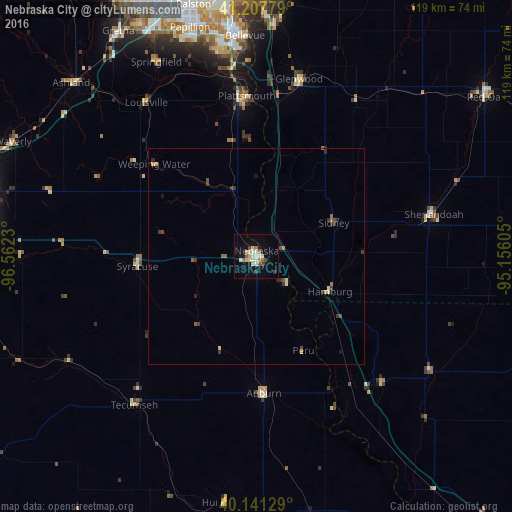
Analysis of Nebraska City night lights 2016
Square area 10x10 km:
 1.14%
1.14%90-99
5.68%80-89
4.22%70-79
0%60-69
2.92%50-59
1.62%40-49
0.65%30-39
2.6%20-29
0%10-19
15.26%0-9
65.91%Square area 50x50 km:
0.05%90-99
0.29%80-89
0.23%70-79
0.1%60-69
0.23%50-59
0.2%40-49
0.19%30-39
0.48%20-29
0.19%10-19
0.72%0-9
97.33%Clear (daylight) street map image can be seen on geolist.org.
Map coordinates:
41° 12' 28" North, 96° 33' 44.3" West
40° 40' 36" North, 95° 51' 33" West
40° 8' 28.6" North, 95° 9' 21.8" West
Some cities around Nebraska City sort by population:
• Bellevue
51.2 km =31.8 mi,  357°
357°
• Papillion
55.3 km =34.4 mi,  343°
343°
• La Vista
58.2 km =36.2 mi,  345°
345°
• Plattsmouth
37.3 km =23.2 mi, 357°
• Ralston
60.8 km =37.8 mi, 345°
• Glenwood
42.3 km =26.3 mi,  13°
13°
• Gretna
60.7 km =37.7 mi,  328°
328°
• Shenandoah
42.2 km =26.2 mi,  76°
76°
5073661 (p: 7,335)
Sources (retrieved 2019-11-25):
» Earth at Night: Flat Maps 2012, 2016