Dix Hills night lights from space
Night Light of Dix Hills (New York) from space (United States) Src. Average luminocity for 10x10km area is 81.0051% and for 50x50km: 48.0929%.
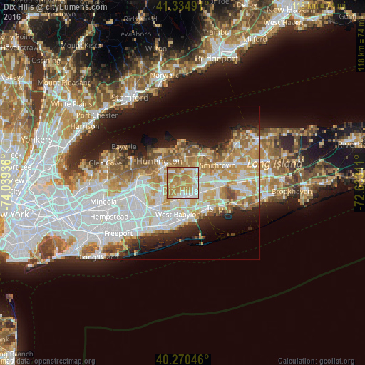
Analysis of Dix Hills night lights 2016
Square area 10x10 km:
 14.46%
90-99
17.35%80-89
12.93%70-79
33.16%60-69
20.58%50-59
1.53%40-49
0%30-39
0%20-29
0%10-19
0%0-9
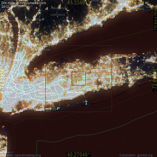
0%Square area 50x50 km:
12.72%90-99
10.98%80-89
6.23%70-79
8.67%60-69
6.86%50-59
5.57%40-49
3.28%30-39
2.73%20-29
5.51%10-19
8.74%0-9
28.7%Clear (daylight) street map image can be seen on geolist.org.
Map coordinates:
41° 20' 5.7" North, 74° 2' 21.7" West
40° 48' 17.4" North, 73° 20' 10.4" West
40° 16' 13.7" North, 72° 37' 59.2" West
Some cities around Dix Hills sort by population:
• Commack
5.6 km =3.5 mi,  40°
40°
• Deer Park
4.8 km =3 mi,  173°
173°
• Melville
6.8 km =4.2 mi,  259°
259°
• Wyandanch
6 km =3.7 mi,  199°
199°
• Elwood
4.5 km =2.8 mi,  1°
1°
• South Huntington
5.7 km =3.5 mi,  291°
291°
• Bay Wood
7.2 km =4.5 mi,  148°
148°
• Wheatley Heights
5.4 km =3.4 mi,  211°
211°
5115107 (p: 26,892)
Sources (retrieved 2019-11-25):
» Earth at Night: Flat Maps 2012, 2016