College Point night lights from space
Night Light of College Point (New York) from space (United States) Src. Average luminocity for 10x10km area is 96.1266% and for 50x50km: 80.8624%.
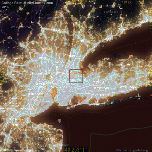
Analysis of College Point night lights 2016
Square area 10x10 km:
 59.58%
90-99
27.27%80-89
6.01%70-79
2.6%60-69
3.9%50-59
0%40-49
0.65%30-39
0%20-29
0%10-19
0%0-9
0%Square area 50x50 km:
42.83%90-99
17.67%80-89
5.66%70-79
7.51%60-69
6.85%50-59
3.83%40-49
2.91%30-39
2.71%20-29
4.16%10-19
4.18%0-9
1.7%Clear (daylight) street map image can be seen on geolist.org.
Map coordinates:
41° 19' 4.2" North, 74° 32' 56.8" West
40° 47' 15.4" North, 73° 50' 45.5" West
40° 15' 11.2" North, 73° 8' 34.3" West
Some cities around College Point sort by population:
• Corona
4.7 km =2.9 mi,  194°
194°
• Jackson Heights
4.9 km =3 mi,  223°
223°
• Parkchester
5.8 km =3.6 mi,  347°
347°
• Whitestone
2.4 km =1.5 mi,  71°
71°
• Throgs Neck
4.5 km =2.8 mi,  29°
29°
• Hunts Point
4.2 km =2.6 mi,  310°
310°
• Unionport
4.4 km =2.7 mi,  355°
355°
• East Elmhurst
3.3 km =2.1 mi,  208°
208°
5113302 (p: 27,307)
Sources (retrieved 2019-11-25):
» Earth at Night: Flat Maps 2012, 2016