Parkchester night lights from space
Night Light of Parkchester (New York) from space (United States) Src. Average luminocity for 10x10km area is 94.8912% and for 50x50km: 82.5499%.
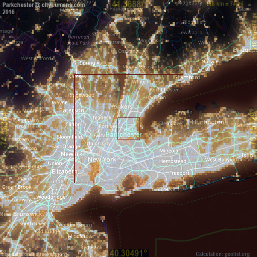
Analysis of Parkchester night lights 2016
Square area 10x10 km:
 60.54%
90-99
21.26%80-89
6.46%70-79
5.27%60-69
5.78%50-59
0.68%40-49
0%30-39
0%20-29
0%10-19
0%0-9
0%Square area 50x50 km:
42.52%90-99
17.37%80-89
6.19%70-79
8.4%60-69
9.77%50-59
4.51%40-49
2.42%30-39
2.13%20-29
2.36%10-19
3.05%0-9
1.3%Clear (daylight) street map image can be seen on geolist.org.
Map coordinates:
41° 22' 7.7" North, 74° 33' 48.7" West
40° 50' 20.4" North, 73° 51' 37.5" West
40° 18' 17.7" North, 73° 9' 26.2" West
Some cities around Parkchester sort by population:
• The Bronx
1.3 km =0.8 mi,  337°
337°
• Throgs Neck
3.9 km =2.4 mi,  117°
117°
• Hunts Point
3.5 km =2.2 mi,  214°
214°
• Unionport
1.6 km =1 mi,  146°
146°
• Van Nest
1.1 km =0.7 mi,  345°
345°
• East Tremont
2.7 km =1.7 mi,  285°
285°
• Baychester
3.9 km =2.4 mi,  30°
30°
• Morris Park
1.6 km =1 mi,  21°
21°
5130572 (p: 65,876)
Sources (retrieved 2019-11-25):
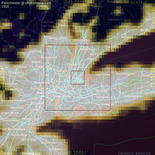
» NASA, Earths city lights 1995
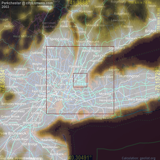
» NASA city lights 2003
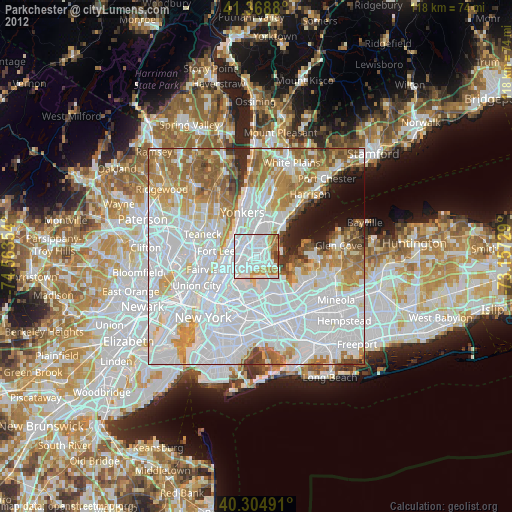
» Earth at Night: Flat Maps 2012, 2016