Whitestone night lights from space
Night Light of Whitestone (New York) from space (United States) Src. Average luminocity for 10x10km area is 88.9399% and for 50x50km: 79.5615%.
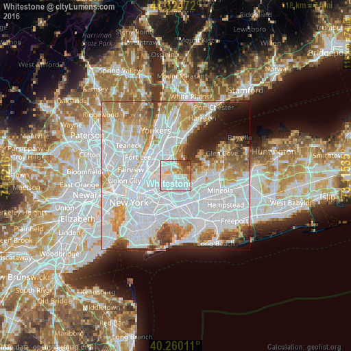
Analysis of Whitestone night lights 2016
Square area 10x10 km:
 46.59%
90-99
25.32%80-89
5.68%70-79
4.38%60-69
6.82%50-59
3.41%40-49
5.84%30-39
1.95%20-29
0%10-19
0%0-9
0%Square area 50x50 km:
41.21%90-99
17.33%80-89
5.46%70-79
7.49%60-69
7.57%50-59
4.28%40-49
3.07%30-39
2.89%20-29
4.06%10-19
4.1%0-9
2.54%Clear (daylight) street map image can be seen on geolist.org.
Map coordinates:
41° 19' 29" North, 74° 31' 17.8" West
40° 47' 40.4" North, 73° 49' 6.5" West
40° 15' 36.4" North, 73° 6' 55.3" West
Some cities around Whitestone sort by population:
• Corona
6.3 km =3.9 mi,  213°
213°
• Bayside
4.5 km =2.8 mi,  129°
129°
• Parkchester
6.1 km =3.8 mi,  324°
324°
• Throgs Neck
3.1 km =1.9 mi,  358°
358°
• College Point
2.4 km =1.5 mi,  251°
251°
• Hunts Point
5.9 km =3.7 mi,  289°
289°
• Unionport
4.5 km =2.8 mi, 323°
• East Elmhurst
5.4 km =3.4 mi,  226°
226°
5144400 (p: 36,984)
Sources (retrieved 2019-11-25):
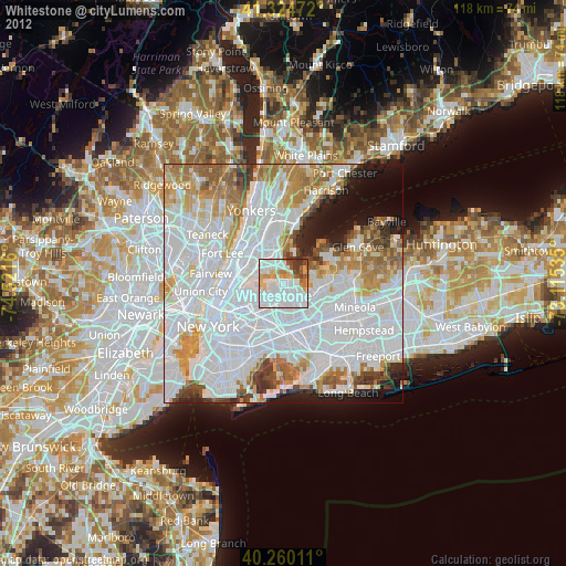
» Earth at Night: Flat Maps 2012, 2016