Unionport night lights from space
Night Light of Unionport (New York) from space (United States) Src. Average luminocity for 10x10km area is 93.2993% and for 50x50km: 82.4137%.
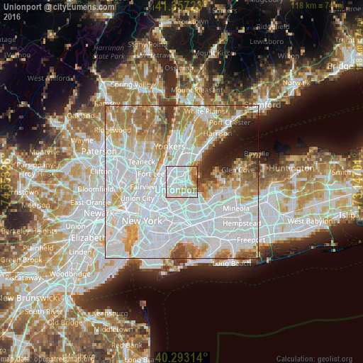
Analysis of Unionport night lights 2016
Square area 10x10 km:
 54.25%
90-99
23.13%80-89
7.82%70-79
5.61%60-69
7.14%50-59
1.53%40-49
0.51%30-39
0%20-29
0%10-19
0%0-9
0%Square area 50x50 km:
42.78%90-99
17.46%80-89
6.02%70-79
8.2%60-69
9.3%50-59
4.53%40-49
2.55%30-39
2.12%20-29
2.41%10-19
3.14%0-9
1.49%Clear (daylight) street map image can be seen on geolist.org.
Map coordinates:
41° 21' 26" North, 74° 33' 11.7" West
40° 49' 38.4" North, 73° 51' 0.5" West
40° 17' 35.3" North, 73° 8' 49.2" West
Some cities around Unionport sort by population:
• The Bronx
2.9 km =1.8 mi,  331°
331°
• Parkchester
1.6 km =1 mi, 326°
• Throgs Neck
2.6 km =1.6 mi,  101°
101°
• College Point
4.4 km =2.7 mi,  175°
175°
• Hunts Point
3.3 km =2.1 mi,  240°
240°
• Van Nest
2.6 km =1.6 mi, 333°
• East Tremont
4 km =2.5 mi,  300°
300°
• Morris Park
2.8 km =1.7 mi,  354°
354°
5141930 (p: 23,895)
Sources (retrieved 2019-11-25):
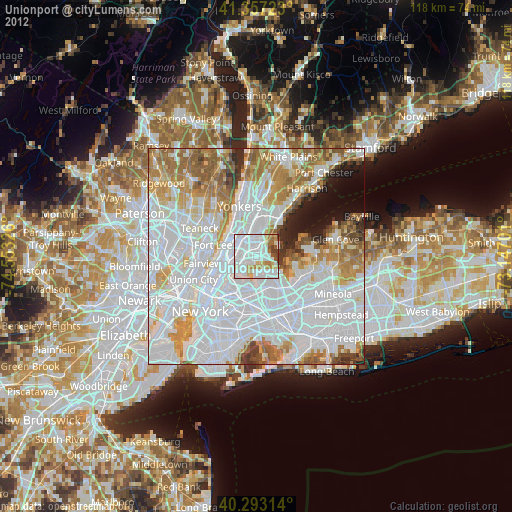
» Earth at Night: Flat Maps 2012, 2016