Hunts Point night lights from space
Night Light of Hunts Point (New York) from space (United States) Src. Average luminocity for 10x10km area is 98.5935% and for 50x50km: 84.5299%.
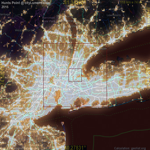
Analysis of Hunts Point night lights 2016
Square area 10x10 km:
 65.14%
90-99
29.59%80-89
4.08%70-79
1.19%60-69
0%50-59
0%40-49
0%30-39
0%20-29
0%10-19
0%0-9
0%Square area 50x50 km:
45.38%90-99
18.47%80-89
5.98%70-79
7.93%60-69
8.35%50-59
3.88%40-49
2.3%30-39
1.97%20-29
2.26%10-19
2.72%0-9
0.75%Clear (daylight) street map image can be seen on geolist.org.
Map coordinates:
41° 20' 33.5" North, 74° 35' 13.7" West
40° 48' 45.4" North, 73° 53' 2.5" West
40° 16' 41.9" North, 73° 10' 51.2" West
Some cities around Hunts Point sort by population:
• Parkchester
3.5 km =2.2 mi,  34°
34°
• Mott Haven
3.3 km =2.1 mi,  263°
263°
• College Point
4.2 km =2.6 mi,  130°
130°
• Unionport
3.3 km =2.1 mi,  60°
60°
• Van Nest
4.3 km =2.7 mi,  23°
23°
• Morrisania
2.7 km =1.7 mi,  314°
314°
• East Tremont
3.7 km =2.3 mi,  350°
350°
• Melrose
2.6 km =1.6 mi,  300°
300°
5121666 (p: 27,204)
Sources (retrieved 2019-11-25):
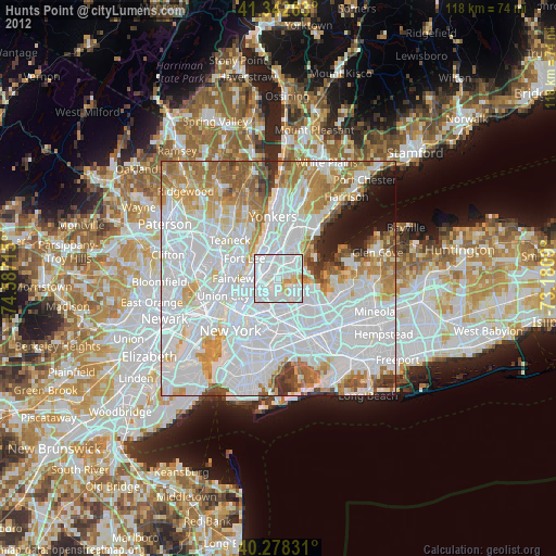
» Earth at Night: Flat Maps 2012, 2016