Throgs Neck night lights from space
Night Light of Throgs Neck (New York) from space (United States) Src. Average luminocity for 10x10km area is 81.4099% and for 50x50km: 80.4721%.
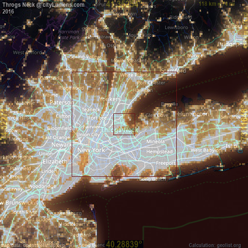
Analysis of Throgs Neck night lights 2016
Square area 10x10 km:
 35.54%
90-99
19.56%80-89
6.8%70-79
7.48%60-69
10.88%50-59
4.93%40-49
8.16%30-39
5.95%20-29
0.68%10-19
0%0-9
0%Square area 50x50 km:
41%90-99
17.14%80-89
5.65%70-79
7.95%60-69
9.37%50-59
4.82%40-49
2.9%30-39
2.38%20-29
2.79%10-19
3.59%0-9
2.42%Clear (daylight) street map image can be seen on geolist.org.
Map coordinates:
41° 21' 9.1" North, 74° 31' 21.8" West
40° 49' 21.4" North, 73° 49' 10.5" West
40° 17' 18.2" North, 73° 6' 59.3" West
Some cities around Throgs Neck sort by population:
• The Bronx
5 km =3.1 mi,  307°
307°
• Parkchester
3.9 km =2.4 mi,  297°
297°
• Whitestone
3.1 km =1.9 mi,  178°
178°
• College Point
4.5 km =2.8 mi,  209°
209°
• Unionport
2.6 km =1.6 mi,  281°
281°
• Van Nest
4.7 km =2.9 mi, 307°
• Baychester
5.4 km =3.4 mi,  344°
344°
• Morris Park
4.4 km =2.7 mi,  319°
319°
5140945 (p: 33,683)
Sources (retrieved 2019-11-25):
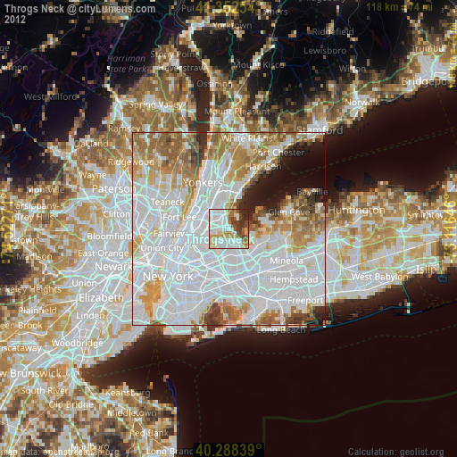
» Earth at Night: Flat Maps 2012, 2016