Evans night lights from space
Night Light of Evans (Colorado) from space (United States) Src. Average luminocity for 10x10km area is 48.9915% and for 50x50km: 12.0088%.
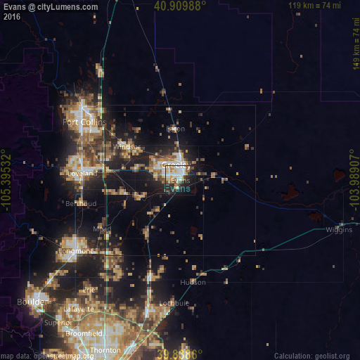
Analysis of Evans night lights 2016
Square area 10x10 km:
 10.88%
90-99
13.1%80-89
6.97%70-79
4.76%60-69
3.91%50-59
4.93%40-49
4.59%30-39
4.93%20-29
15.82%10-19
20.41%0-9
9.69%Square area 50x50 km:
1.01%90-99
1.27%80-89
1.51%70-79
1.58%60-69
1.9%50-59
2.03%40-49
1.55%30-39
2.72%20-29
3.83%10-19
9.79%0-9
72.81%Clear (daylight) street map image can be seen on geolist.org.
Map coordinates:
40° 54' 35.6" North, 105° 23' 43.2" West
40° 22' 34.9" North, 104° 41' 31.9" West
39° 50' 19" North, 103° 59' 20.7" West
Some cities around Evans sort by population:
• Greeley
5.4 km =3.4 mi,  344°
344°
• Loveland
32.5 km =20.2 mi,  274°
274°
• Windsor
21 km =13 mi,  302°
302°
• Johnstown
19.2 km =11.9 mi,  256°
256°
• Firestone
35.9 km =22.3 mi,  215°
215°
• Fort Lupton
34 km =21.1 mi,  197°
197°
• Milliken
14.8 km =9.2 mi,  249°
249°
• Berthoud
33.8 km =21 mi, 257°
5576909 (p: 21,383)
Sources (retrieved 2019-11-25):
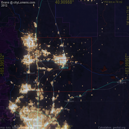
» Earth at Night: Flat Maps 2012, 2016