Diamond Bar night lights from space
Night Light of Diamond Bar (California) from space (United States) Src. Average luminocity for 10x10km area is 84.1259% and for 50x50km: 67.181%.
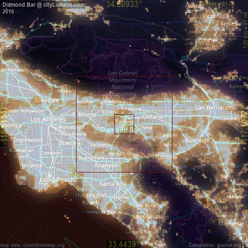

Analysis of Diamond Bar night lights 2016
Square area 10x10 km:
 18.71%
90-99
25.35%80-89
10.84%70-79
27.62%60-69
15.91%50-59
1.57%40-49
0%30-39
0%20-29
0%10-19
0%0-9
0%Square area 50x50 km:
22.54%90-99
18.35%80-89
6.65%70-79
10.1%60-69
9.81%50-59
4.91%40-49
4.54%30-39
2.9%20-29
2.72%10-19
4.96%0-9
12.52%Clear (daylight) street map image can be seen on geolist.org.
Map coordinates:
34° 36' 33.6" North, 118° 30' 48.5" West
34° 1' 43" North, 117° 48' 37.2" West
33° 26' 38" North, 117° 6' 26" West
Some cities around Diamond Bar sort by population:
• Pomona
6.1 km =3.8 mi,  60°
60°
• Chino Hills
6.1 km =3.8 mi,  129°
129°
• Covina
10 km =6.2 mi,  312°
312°
• San Dimas
8.7 km =5.4 mi,  2°
2°
• La Verne
8.9 km =5.5 mi,  25°
25°
• Walnut
5.2 km =3.2 mi,  259°
259°
• South San Jose Hills
8.9 km =5.5 mi, 258°
• Charter Oak
8.9 km =5.5 mi,  338°
338°
5342992 (p: 56,897)
Sources (retrieved 2019-11-25):
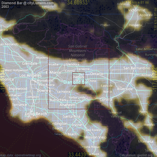
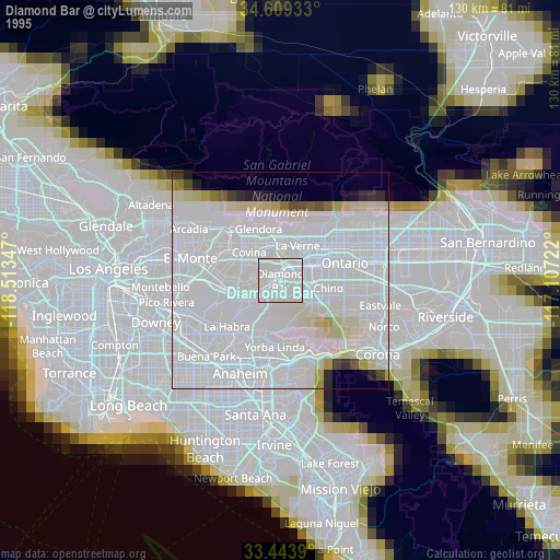
» NASA, Earths city lights 1995
» NASA city lights 2003
» Earth at Night: Flat Maps 2012, 2016