Charles City night lights from space
Night Light of Charles City (Iowa) from space (United States) Src. Average luminocity for 10x10km area is 14.6349% and for 50x50km: 1.3179%.
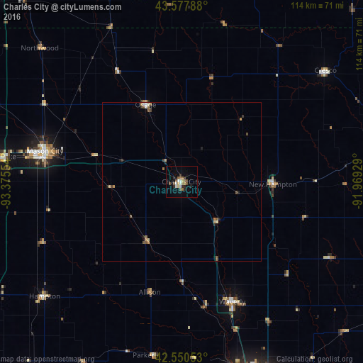
Analysis of Charles City night lights 2016
Square area 10x10 km:
 2.38%
2.38%90-99
1.43%80-89
0.79%70-79
1.11%60-69
2.86%50-59
3.02%40-49
2.38%30-39
0.95%20-29
3.81%10-19
3.02%0-9
78.25%Square area 50x50 km:
0.12%90-99
0.12%80-89
0.15%70-79
0.17%60-69
0.25%50-59
0.3%40-49
0.2%30-39
0.18%20-29
0.3%10-19
0.23%0-9
97.98%Clear (daylight) street map image can be seen on geolist.org.
Map coordinates:
43° 34' 40.4" North, 93° 22' 31.9" West
43° 3' 58.9" North, 92° 40' 20.7" West
42° 33' 1.9" North, 91° 58' 9.4" West
Some cities around Charles City sort by population:
• Waterloo
69.2 km =43 mi,  157°
157°
• Cedar Falls
62.7 km =39 mi, 162°
• Mason City
44 km =27.3 mi,  282°
282°
• Austin
71.1 km =44.2 mi,  339°
339°
• Waverly
41.1 km =25.5 mi, 157°
• Decorah
76.6 km =47.6 mi,  69°
69°
• Clear Lake
57.9 km =36 mi, 277°
• Oelwein
75.7 km =47 mi,  125°
125°
4851163 (p: 7,455)
Sources (retrieved 2019-11-25):
» Earth at Night: Flat Maps 2012, 2016