Marshalltown night lights from space
Night Light of Marshalltown (Iowa) from space (United States) Src. Average luminocity for 10x10km area is 32.5667% and for 50x50km: 2.2439%.
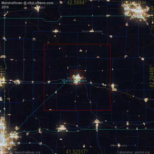
Analysis of Marshalltown night lights 2016
Square area 10x10 km:
 4.76%
4.76%90-99
5.24%80-89
5.87%70-79
4.29%60-69
3.49%50-59
2.7%40-49
6.51%30-39
2.38%20-29
4.44%10-19
31.75%0-9
28.57%Square area 50x50 km:
0.19%90-99
0.28%80-89
0.46%70-79
0.27%60-69
0.22%50-59
0.3%40-49
0.39%30-39
0.27%20-29
0.37%10-19
1.75%0-9
95.49%Clear (daylight) street map image can be seen on geolist.org.
Map coordinates:
42° 34' 9.8" North, 93° 36' 40" West
42° 2' 57.9" North, 92° 54' 28.7" West
41° 31' 30.6" North, 92° 12' 17.5" West
Some cities around Marshalltown sort by population:
• Waterloo
67.8 km =42.1 mi,  43°
43°
• Ames
58.8 km =36.5 mi,  268°
268°
• Cedar Falls
65.4 km =40.6 mi, 35°
• Altoona
64.5 km =40.1 mi,  225°
225°
• Newton
40.6 km =25.2 mi,  196°
196°
• Grinnell
37.4 km =23.2 mi,  155°
155°
• Nevada
45.1 km =28 mi, 266°
• Iowa Falls
59.7 km =37.1 mi,  331°
331°
4866371 (p: 27,620)
Sources (retrieved 2019-11-25):
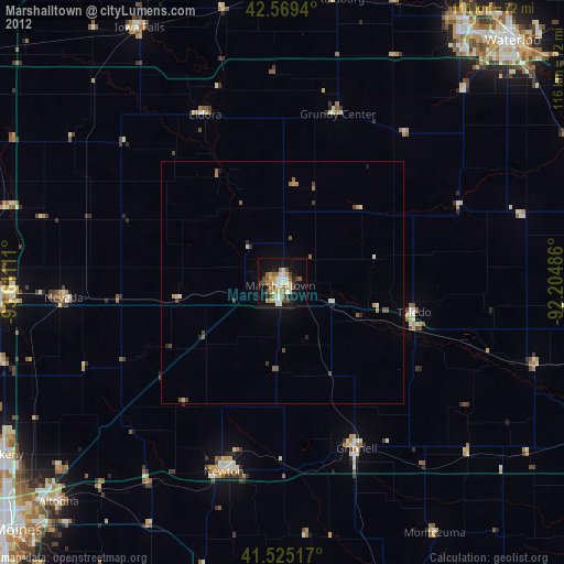
» Earth at Night: Flat Maps 2012, 2016