Brighton night lights from space
Night Light of Brighton (Colorado) from space (United States) Src. Average luminocity for 10x10km area is 50.9643% and for 50x50km: 37.0591%.
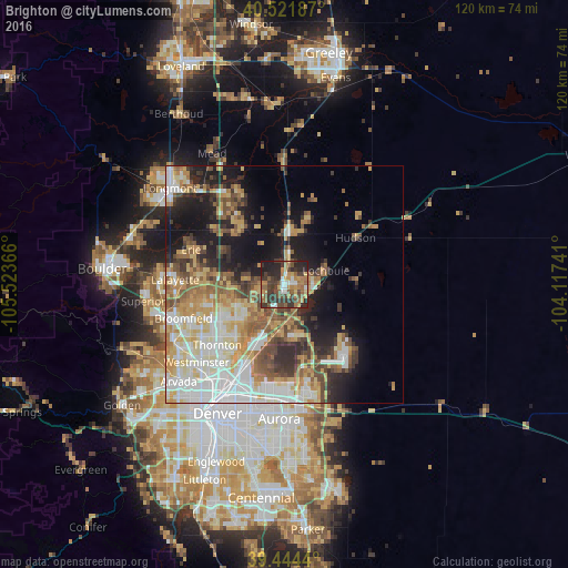
Analysis of Brighton night lights 2016
Square area 10x10 km:
 5.95%
5.95%90-99
4.25%80-89
4.42%70-79
9.86%60-69
11.22%50-59
10.54%40-49
11.73%30-39
19.9%20-29
16.84%10-19
5.27%0-9
0%Square area 50x50 km:
7.97%90-99
6.67%80-89
5.38%70-79
6.28%60-69
4.93%50-59
5.11%40-49
4.55%30-39
4.63%20-29
5.93%10-19
12.19%0-9
36.36%Clear (daylight) street map image can be seen on geolist.org.
Map coordinates:
40° 31' 18.7" North, 105° 31' 25.2" West
39° 59' 6.9" North, 104° 49' 13.9" West
39° 26' 39.8" North, 104° 7' 2.7" West
Some cities around Brighton sort by population:
• Thornton
18.3 km =11.4 mi,  224°
224°
• Northglenn
18 km =11.2 mi,  232°
232°
• Welby
20.3 km =12.6 mi, 215°
• Firestone
17.3 km =10.7 mi,  325°
325°
• Frederick
16.1 km =10 mi,  321°
321°
• Fort Lupton
11.1 km =6.9 mi,  3°
3°
• Derby
18.2 km =11.3 mi,  207°
207°
• Lochbuie
9.2 km =5.7 mi,  74°
74°
5414941 (p: 37,585)
Sources (retrieved 2019-11-25):
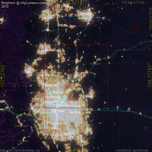
» Earth at Night: Flat Maps 2012, 2016