Bowling Green night lights from space
Night Light of Bowling Green (Missouri) from space (United States) Src. Average luminocity for 10x10km area is 9.4048% and for 50x50km: 1.2329%.
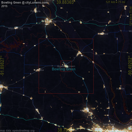
Analysis of Bowling Green night lights 2016
Square area 10x10 km:
 0.68%
0.68%90-99
1.36%80-89
2.55%70-79
0.51%60-69
1.53%50-59
0.17%40-49
1.02%30-39
2.55%20-29
2.55%10-19
0.68%0-9
86.39%Square area 50x50 km:
0.09%90-99
0.13%80-89
0.4%70-79
0.11%60-69
0.1%50-59
0.11%40-49
0.22%30-39
0.23%20-29
0.27%10-19
0.04%0-9
98.31%Clear (daylight) street map image can be seen on geolist.org.
Map coordinates:
39° 53' 1.1" North, 91° 53' 53.8" West
39° 20' 31.2" North, 91° 11' 42.5" West
38° 47' 46" North, 90° 29' 31.3" West
Some cities around Bowling Green sort by population:
• O'Fallon
72.9 km =45.3 mi,  144°
144°
• Quincy
68.5 km =42.6 mi,  344°
344°
• Wentzville
66 km =41 mi,  153°
153°
• Hannibal
43.1 km =26.8 mi, 341°
• Lake Saint Louis
70.1 km =43.6 mi, 149°
• Mexico
62.2 km =38.6 mi,  252°
252°
• Troy
44.3 km =27.5 mi,  155°
155°
• Warrenton
59.2 km =36.8 mi,  175°
175°
4378070 (p: 5,388)
Sources (retrieved 2019-11-25):
» Earth at Night: Flat Maps 2012, 2016