Wentzville night lights from space
Night Light of Wentzville (Missouri) from space (United States) Src. Average luminocity for 10x10km area is 65.1241% and for 50x50km: 20.6501%.
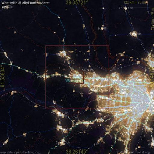
Analysis of Wentzville night lights 2016
Square area 10x10 km:
 9.01%
9.01%90-99
10.2%80-89
13.61%70-79
11.56%60-69
13.44%50-59
15.82%40-49
8.84%30-39
6.97%20-29
8.84%10-19
1.7%0-9
0%Square area 50x50 km:
2.34%90-99
2.71%80-89
3.3%70-79
3.51%60-69
4.5%50-59
3.18%40-49
2.23%30-39
3.82%20-29
4.21%10-19
9.07%0-9
61.11%Clear (daylight) street map image can be seen on geolist.org.
Map coordinates:
39° 21' 26" North, 91° 33' 21.7" West
38° 48' 41.2" North, 90° 51' 10.5" West
38° 15' 41.2" North, 90° 8' 59.2" West
Some cities around Wentzville sort by population:
• O'Fallon
13.3 km =8.3 mi,  90°
90°
• Saint Peters
19.7 km =12.2 mi, 93°
• Chesterfield
29.1 km =18.1 mi,  124°
124°
• Lake Saint Louis
6 km =3.7 mi,  104°
104°
• Dardenne Prairie
11.7 km =7.3 mi,  113°
113°
• Troy
21.7 km =13.5 mi,  329°
329°
• Warrenton
25 km =15.5 mi,  270°
270°
• Weldon Spring
17.9 km =11.1 mi,  127°
127°
4414001 (p: 35,603)
Sources (retrieved 2019-11-25):
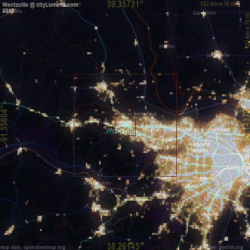
» Earth at Night: Flat Maps 2012, 2016