O'Fallon night lights from space
Night Light of O'Fallon (Missouri) from space (United States) Src. Average luminocity for 10x10km area is 67.9303% and for 50x50km: 31.218%.
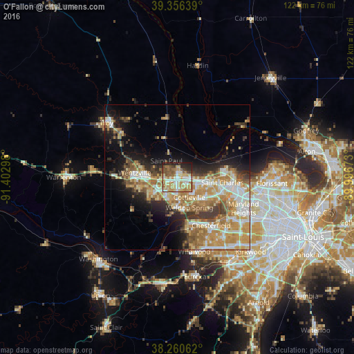
Analysis of O'Fallon night lights 2016
Square area 10x10 km:
 10.71%
90-99
14.46%80-89
13.61%70-79
13.78%60-69
15.82%50-59
7.65%40-49
6.29%30-39
3.74%20-29
11.9%10-19
2.04%0-9
0%Square area 50x50 km:
5.13%90-99
5.33%80-89
4.71%70-79
6.6%60-69
6.08%50-59
4.06%40-49
2.59%30-39
4.31%20-29
4.9%10-19
8.92%0-9
47.35%Clear (daylight) street map image can be seen on geolist.org.
Map coordinates:
39° 21' 23" North, 91° 24' 10.7" West
38° 48' 38.2" North, 90° 41' 59.5" West
38° 15' 38.2" North, 89° 59' 48.2" West
Some cities around O'Fallon sort by population:
• Saint Charles
19.2 km =11.9 mi,  98°
98°
• Saint Peters
6.5 km =4 mi, 100°
• Chesterfield
19.6 km =12.2 mi,  147°
147°
• Wentzville
13.3 km =8.3 mi,  270°
270°
• Lake Saint Louis
7.6 km =4.7 mi,  258°
258°
• Dardenne Prairie
5.2 km =3.2 mi,  208°
208°
• Bridgeton
25.5 km =15.8 mi, 100°
• Weldon Spring
10.8 km =6.7 mi,  175°
175°
4401242 (p: 85,040)
Sources (retrieved 2019-11-25):
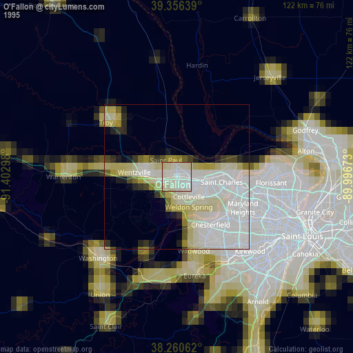
» NASA, Earths city lights 1995
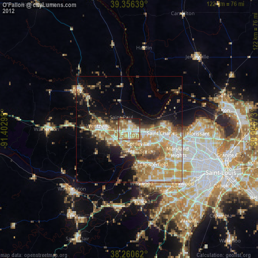
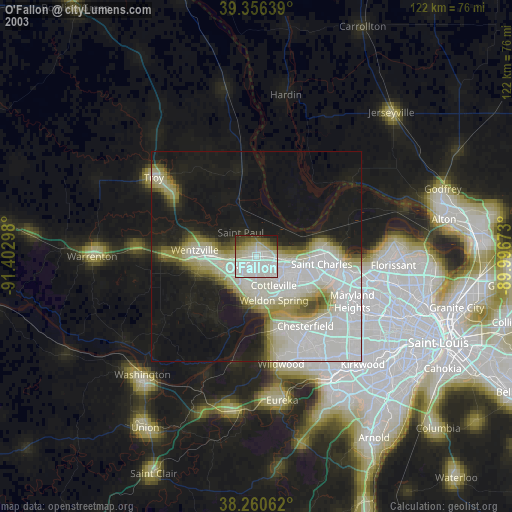
» NASA city lights 2003
» Earth at Night: Flat Maps 2012, 2016