Quincy night lights from space
Night Light of Quincy (Illinois) from space (United States) Src. Average luminocity for 10x10km area is 54.6956% and for 50x50km: 5.6359%.
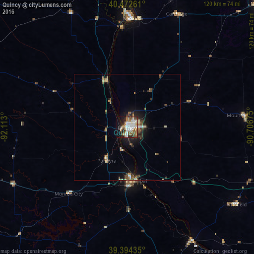
Analysis of Quincy night lights 2016
Square area 10x10 km:
 13.27%
90-99
13.95%80-89
6.29%70-79
6.63%60-69
4.76%50-59
8.5%40-49
6.12%30-39
4.42%20-29
11.05%10-19
17.18%0-9
7.82%Square area 50x50 km:
0.71%90-99
0.86%80-89
0.69%70-79
0.62%60-69
0.63%50-59
0.88%40-49
0.97%30-39
0.87%20-29
1.43%10-19
3.25%0-9
89.09%Clear (daylight) street map image can be seen on geolist.org.
Map coordinates:
40° 28' 21.4" North, 92° 6' 46.8" West
39° 56' 8.2" North, 91° 24' 35.5" West
39° 23' 39.7" North, 90° 42' 24.3" West
Some cities around Quincy sort by population:
• Macomb
85.5 km =53.1 mi,  47°
47°
• Hannibal
25.6 km =15.9 mi,  170°
170°
• Mexico
94.3 km =58.6 mi,  205°
205°
• Fort Madison
77.6 km =48.2 mi,  5°
5°
• Keokuk
51.4 km =31.9 mi,  2°
2°
• Beardstown
84.5 km =52.5 mi,  83°
83°
• Macon
93.3 km =58 mi,  256°
256°
• Bowling Green
68.5 km =42.6 mi,  164°
164°
4247703 (p: 40,780)
Sources (retrieved 2019-11-25):
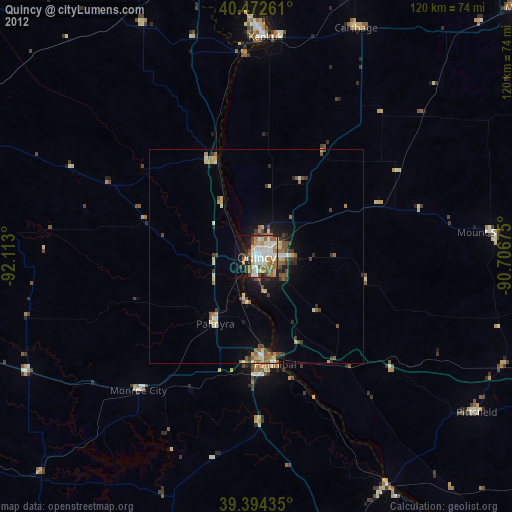
» Earth at Night: Flat Maps 2012, 2016