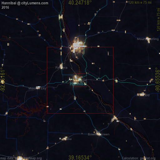
Hannibal night lights from space
Night Light of Hannibal (Missouri) from space (United States) Src. Average luminocity for 10x10km area is 26.0584% and for 50x50km: 4.0167%.
Analysis of Hannibal night lights 2016
Square area 10x10 km:
 2.27%
2.27%90-99
2.27%80-89
2.92%70-79
2.44%60-69
4.55%50-59
6.01%40-49
9.9%30-39
4.38%20-29
3.25%10-19
18.67%0-9
43.34%Square area 50x50 km:
0.32%90-99
0.44%80-89
0.52%70-79
0.46%60-69
0.41%50-59
0.77%40-49
0.94%30-39
0.73%20-29
1.02%10-19
2.59%0-9
91.8%Clear (daylight) street map image can be seen on geolist.org.
Map coordinates:
40° 14' 49.8" North, 92° 3' 41.8" West
39° 42' 30.2" North, 91° 21' 30.5" West
39° 9' 55.2" North, 90° 39' 19.3" West
Some cities around Hannibal sort by population:
• Quincy
25.6 km =15.9 mi,  350°
350°
• Jacksonville
96.6 km =60 mi,  88°
88°
• Mexico
74.9 km =46.5 mi,  216°
216°
• Troy
87.3 km =54.2 mi,  158°
158°
• Keokuk
76.6 km =47.6 mi,  358°
358°
• Beardstown
86.8 km =53.9 mi,  66°
66°
• Macon
95.4 km =59.3 mi,  272°
272°
• Bowling Green
43.1 km =26.8 mi, 161°
4389418 (p: 17,839)
Sources (retrieved 2019-11-25):
» Earth at Night: Flat Maps 2012, 2016