Billings night lights from space
Night Light of Billings (Montana) from space (United States) Src. Average luminocity for 10x10km area is 64.7794% and for 50x50km: 7.0666%.
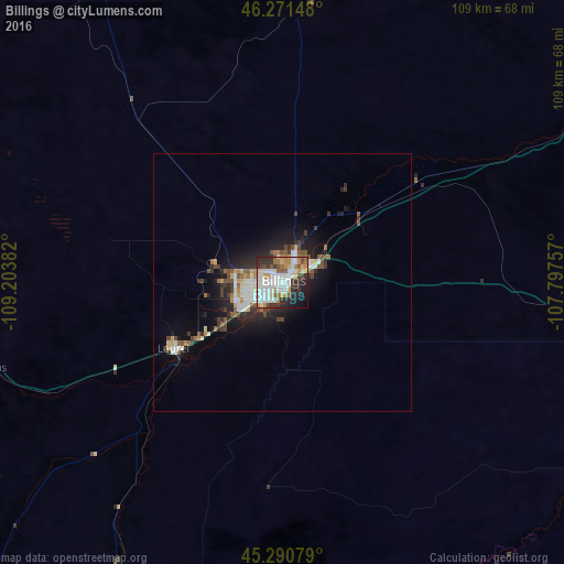
Analysis of Billings night lights 2016
Square area 10x10 km:
 20.48%
90-99
17.62%80-89
6.03%70-79
7.78%60-69
5.71%50-59
5.87%40-49
4.29%30-39
8.89%20-29
13.33%10-19
8.1%0-9
1.9%Square area 50x50 km:
1.32%90-99
1.4%80-89
0.52%70-79
0.67%60-69
0.7%50-59
0.95%40-49
0.96%30-39
1.1%20-29
2.29%10-19
4.22%0-9
85.88%Clear (daylight) street map image can be seen on geolist.org.
Map coordinates:
46° 16' 17.3" North, 109° 12' 13.8" West
45° 46' 59.8" North, 108° 30' 2.5" West
45° 17' 26.8" North, 107° 47' 51.3" West
Some cities around Billings sort by population:
• Bozeman
197.3 km =122.6 mi,  266°
266°
• Sheridan
163.1 km =101.3 mi,  132°
132°
• Cody
146.4 km =91 mi,  197°
197°
• Livingston
160.5 km =99.7 mi, 265°
• Laurel
24.6 km =15.3 mi,  238°
238°
• Lockwood
7.8 km =4.8 mi,  59°
59°
• Powell
116.2 km =72.2 mi,  189°
189°
• Lewistown
159 km =98.8 mi,  333°
333°
5640350 (p: 110,263)
Sources (retrieved 2019-11-25):
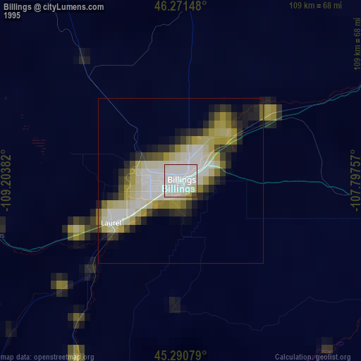
» NASA, Earths city lights 1995
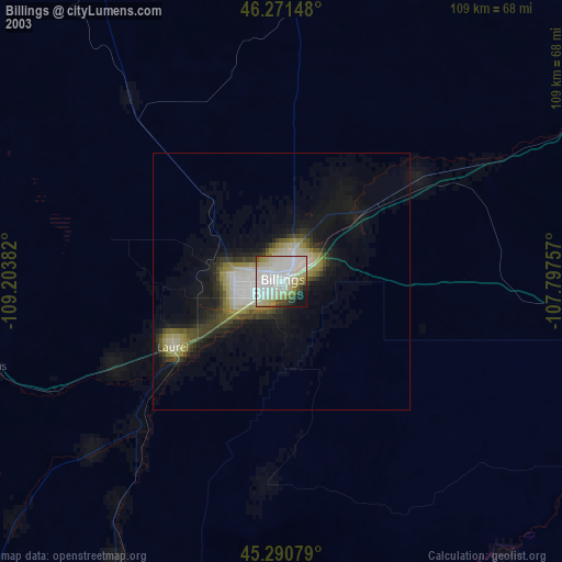
» NASA city lights 2003
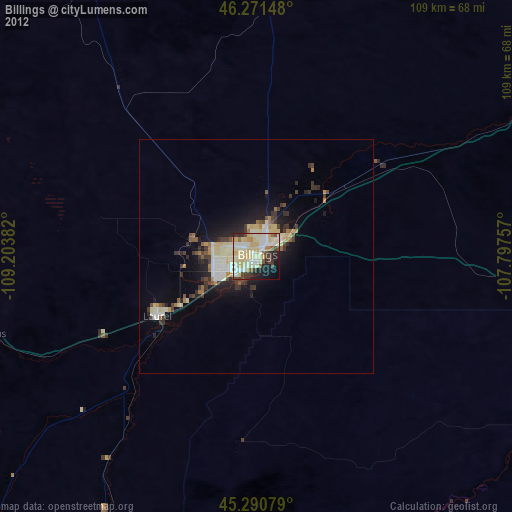
» Earth at Night: Flat Maps 2012, 2016