Lewistown night lights from space
Night Light of Lewistown (Montana) from space (United States) Src. Average luminocity for 10x10km area is 9.071% and for 50x50km: 0.4153%.
Analysis of Lewistown night lights 2016
Square area 10x10 km:
 0.99%
0.99%90-99
1.56%80-89
1.28%70-79
1.14%60-69
0.14%50-59
0.71%40-49
2.13%30-39
2.27%20-29
1.7%10-19
0.57%0-9
87.5%Square area 50x50 km:
0.04%90-99
0.06%80-89
0.05%70-79
0.05%60-69
0.03%50-59
0.03%40-49
0.09%30-39
0.09%20-29
0.12%10-19
0.05%0-9
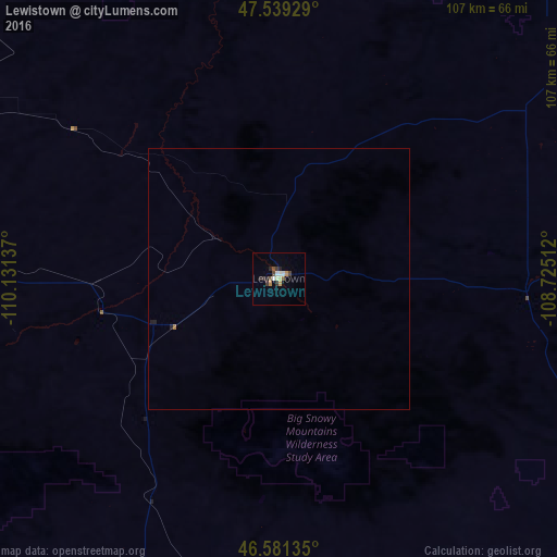
99.39%Clear (daylight) street map image can be seen on geolist.org.
Map coordinates:
47° 32' 21.4" North, 110° 7' 52.9" West
47° 3' 44.9" North, 109° 25' 41.7" West
46° 34' 52.9" North, 108° 43' 30.4" West
Some cities around Lewistown sort by population:
• Billings
159 km =98.8 mi,  153°
153°
• Great Falls
149.4 km =92.8 mi,  289°
289°
• Havre
166.5 km =103.5 mi,  353°
353°
• Helena Valley Southeast
196 km =121.8 mi,  255°
255°
• Belgrade
196 km =121.8 mi,  223°
223°
• Livingston
178.3 km =110.8 mi,  209°
209°
• Laurel
162.9 km =101.2 mi,  161°
161°
• Lockwood
158.6 km =98.5 mi, 150°
5662162 (p: 5,874)
Sources (retrieved 2019-11-25):
» Earth at Night: Flat Maps 2012, 2016