Powell night lights from space
Night Light of Powell (Wyoming) from space (United States) Src. Average luminocity for 10x10km area is 9.7015% and for 50x50km: 0.73%.
Analysis of Powell night lights 2016
Square area 10x10 km:
 2.12%
2.12%90-99
0.91%80-89
1.21%70-79
1.06%60-69
1.67%50-59
0.91%40-49
1.21%30-39
0.61%20-29
0.91%10-19
1.36%0-9
88.03%Square area 50x50 km:
0.1%90-99
0.08%80-89
0.12%70-79
0.12%60-69
0.08%50-59
0.09%40-49
0.09%30-39
0.03%20-29
0.15%10-19
0.13%0-9
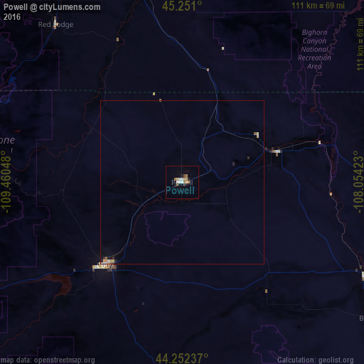
99.01%Clear (daylight) street map image can be seen on geolist.org.
Map coordinates:
45° 15' 3.6" North, 109° 27' 37.7" West
44° 45' 13.8" North, 108° 45' 26.5" West
44° 15' 8.5" North, 108° 3' 15.2" West
Some cities around Powell sort by population:
• Billings
116.2 km =72.2 mi,  9°
9°
• Sheridan
142.2 km =88.4 mi,  88°
88°
• Riverton
194.6 km =120.9 mi,  171°
171°
• Cody
34.6 km =21.5 mi,  223°
223°
• Livingston
173.7 km =107.9 mi,  305°
305°
• Laurel
101.8 km =63.3 mi,  359°
359°
• Lockwood
121.4 km =75.4 mi, 12°
• Worland
103.8 km =64.5 mi,  142°
142°
5835606 (p: 6,462)
Sources (retrieved 2019-11-25):
» Earth at Night: Flat Maps 2012, 2016