Cody night lights from space
Night Light of Cody (Wyoming) from space (United States) Src. Average luminocity for 10x10km area is 15.9429% and for 50x50km: 0.7546%.
Analysis of Cody night lights 2016
Square area 10x10 km:
 1.27%
1.27%90-99
2.54%80-89
3.02%70-79
3.33%60-69
0.63%50-59
1.59%40-49
1.43%30-39
1.59%20-29
3.65%10-19
4.6%0-9
76.35%Square area 50x50 km:
0.08%90-99
0.1%80-89
0.11%70-79
0.13%60-69
0.03%50-59
0.07%40-49
0.08%30-39
0.08%20-29
0.16%10-19
0.24%0-9
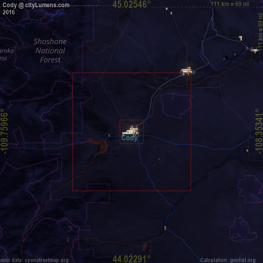
98.91%Clear (daylight) street map image can be seen on geolist.org.
Map coordinates:
45° 1' 31.7" North, 109° 45' 34.8" West
44° 31' 34.8" North, 109° 3' 23.5" West
44° 1' 22.5" North, 108° 21' 12.3" West
Some cities around Cody sort by population:
• Billings
146.4 km =91 mi,  17°
17°
• Sheridan
168.8 km =104.9 mi,  79°
79°
• Riverton
175.5 km =109.1 mi,  161°
161°
• Livingston
172.9 km =107.4 mi,  316°
316°
• Laurel
129 km =80.2 mi,  9°
9°
• Lockwood
152.3 km =94.6 mi, 19°
• Powell
34.6 km =21.5 mi,  43°
43°
• Worland
104.4 km =64.9 mi,  122°
122°
5821593 (p: 9,792)
Sources (retrieved 2019-11-25):
» Earth at Night: Flat Maps 2012, 2016