Bend night lights from space
Night Light of Bend (Oregon) from space (United States) Src. Average luminocity for 10x10km area is 49.5651% and for 50x50km: 3.3891%.
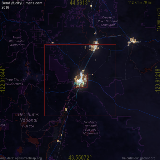
Analysis of Bend night lights 2016
Square area 10x10 km:
 9.68%
9.68%90-99
9.84%80-89
3.02%70-79
5.08%60-69
6.67%50-59
9.05%40-49
14.44%30-39
8.41%20-29
8.57%10-19
20.48%0-9
4.76%Square area 50x50 km:
0.46%90-99
0.56%80-89
0.2%70-79
0.37%60-69
0.42%50-59
0.56%40-49
0.81%30-39
0.46%20-29
0.54%10-19
2.7%0-9
92.92%Clear (daylight) street map image can be seen on geolist.org.
Map coordinates:
44° 33' 40.7" North, 122° 1' 6.4" West
44° 3' 29.4" North, 121° 18' 55.1" West
43° 33' 2.6" North, 120° 36' 43.9" West
Some cities around Bend sort by population:
• Springfield
136.4 km =84.8 mi,  269°
269°
• Redmond
26.4 km =16.4 mi,  25°
25°
• Lebanon
137.4 km =85.4 mi,  292°
292°
• Prineville
46.8 km =29.1 mi,  54°
54°
• Sweet Home
119.3 km =74.1 mi, 288°
• Madras
65.6 km =40.8 mi,  13°
13°
• Creswell
137.6 km =85.5 mi,  263°
263°
• Deschutes River Woods
8.2 km =5.1 mi,  204°
204°
5713587 (p: 87,014)
Sources (retrieved 2019-11-25):
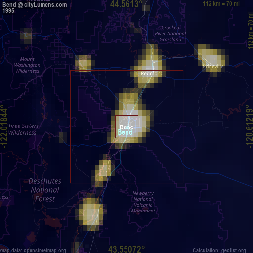
» NASA, Earths city lights 1995
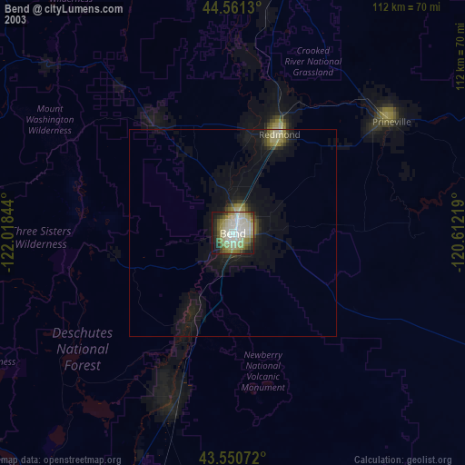
» NASA city lights 2003
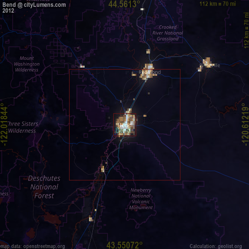
» Earth at Night: Flat Maps 2012, 2016