Springfield night lights from space
Night Light of Springfield (Oregon) from space (United States) Src. Average luminocity for 10x10km area is 61.3524% and for 50x50km: 8.3174%.
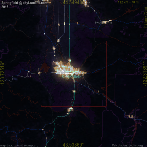
Analysis of Springfield night lights 2016
Square area 10x10 km:
 13.17%
90-99
16.51%80-89
7.62%70-79
5.87%60-69
9.52%50-59
8.41%40-49
6.67%30-39
6.98%20-29
16.67%10-19
8.57%0-9
0%Square area 50x50 km:
1.44%90-99
1.77%80-89
0.81%70-79
0.93%60-69
1.13%50-59
1.22%40-49
0.82%30-39
0.92%20-29
2.42%10-19
4.64%0-9
83.91%Clear (daylight) street map image can be seen on geolist.org.
Map coordinates:
44° 32' 58.1" North, 123° 43' 30.6" West
44° 2' 46.5" North, 123° 1' 19.3" West
43° 32' 19.3" North, 122° 19' 8.1" West
Some cities around Springfield sort by population:
• Eugene
5.2 km =3.2 mi,  277°
277°
• Corvallis
60.7 km =37.7 mi,  341°
341°
• Albany
66 km =41 mi,  354°
354°
• Lebanon
55.3 km =34.4 mi,  9°
9°
• Cottage Grove
27.8 km =17.3 mi,  186°
186°
• Sweet Home
45.2 km =28.1 mi,  30°
30°
• Junction City
24.2 km =15 mi,  322°
322°
• Creswell
14.3 km =8.9 mi,  180°
180°
5754005 (p: 60,870)
Sources (retrieved 2019-11-25):
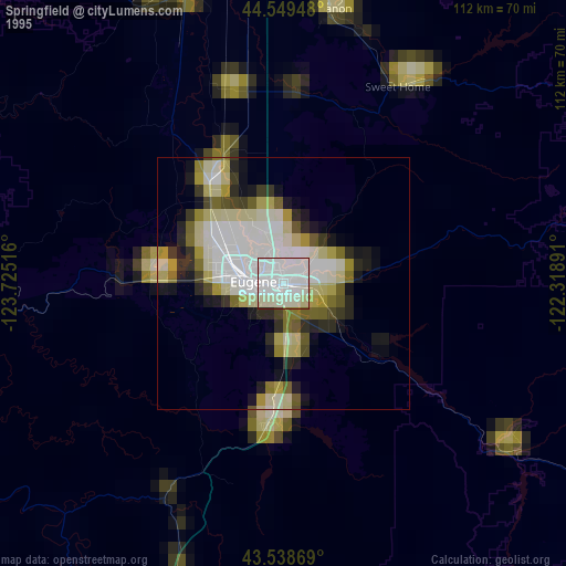
» NASA, Earths city lights 1995
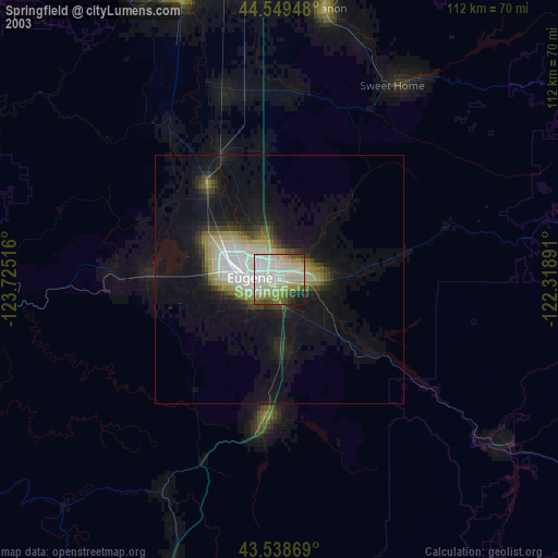
» NASA city lights 2003
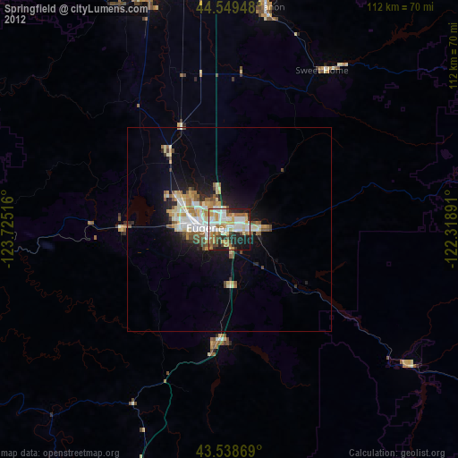
» Earth at Night: Flat Maps 2012, 2016