Creswell night lights from space
Night Light of Creswell (Oregon) from space (United States) Src. Average luminocity for 10x10km area is 3.7683% and for 50x50km: 8.3272%.
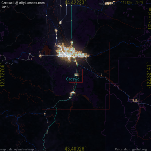
Analysis of Creswell night lights 2016
Square area 10x10 km:
 0.32%
0.32%90-99
0.32%80-89
0%70-79
1.27%60-69
0%50-59
0.63%40-49
0.79%30-39
1.11%20-29
0.63%10-19
1.27%0-9
93.65%Square area 50x50 km:
1.5%90-99
1.81%80-89
0.82%70-79
0.92%60-69
1.19%50-59
1.14%40-49
0.9%30-39
1%20-29
2.47%10-19
3.99%0-9
84.26%Clear (daylight) street map image can be seen on geolist.org.
Map coordinates:
44° 25' 20" North, 123° 43' 39.6" West
43° 55' 4.4" North, 123° 1' 28.3" West
43° 24' 33.3" North, 122° 19' 17.1" West
Some cities around Creswell sort by population:
• Eugene
15.7 km =9.8 mi,  341°
341°
• Springfield
14.3 km =8.9 mi,  0°
0°
• Corvallis
74.4 km =46.2 mi,  345°
345°
• Lebanon
69.4 km =43.1 mi,  7°
7°
• Cottage Grove
13.7 km =8.5 mi,  191°
191°
• Sweet Home
58.1 km =36.1 mi,  23°
23°
• Sutherlin
63.1 km =39.2 mi,  201°
201°
• Junction City
36.5 km =22.7 mi, 336°
5721551 (p: 5,199)
Sources (retrieved 2019-11-25):
» Earth at Night: Flat Maps 2012, 2016