Prineville night lights from space
Night Light of Prineville (Oregon) from space (United States) Src. Average luminocity for 10x10km area is 13.3818% and for 50x50km: 0.6712%.
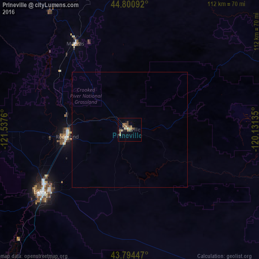
Analysis of Prineville night lights 2016
Square area 10x10 km:
 0%
0%90-99
1.52%80-89
2.27%70-79
2.12%60-69
2.42%50-59
3.94%40-49
1.82%30-39
1.67%20-29
0.91%10-19
3.18%0-9
80.15%Square area 50x50 km:
0%90-99
0.06%80-89
0.1%70-79
0.1%60-69
0.1%50-59
0.16%40-49
0.07%30-39
0.07%20-29
0.04%10-19
0.35%0-9
98.96%Clear (daylight) street map image can be seen on geolist.org.
Map coordinates:
44° 48' 3.3" North, 121° 32' 15.4" West
44° 17' 59.5" North, 120° 50' 4.1" West
43° 47' 40.1" North, 120° 7' 52.9" West
Some cities around Prineville sort by population:
• Bend
46.8 km =29.1 mi,  234°
234°
• Redmond
27.2 km =16.9 mi,  263°
263°
• The Dalles
146.5 km =91 mi,  349°
349°
• Sweet Home
151.6 km =94.2 mi,  274°
274°
• Stayton
165 km =102.5 mi,  289°
289°
• Hood River
165.4 km =102.8 mi,  340°
340°
• Madras
43.9 km =27.3 mi,  327°
327°
• Deschutes River Woods
54.1 km =33.6 mi, 230°
5746901 (p: 9,530)
Sources (retrieved 2019-11-25):
» Earth at Night: Flat Maps 2012, 2016