Redmond night lights from space
Night Light of Redmond (Oregon) from space (United States) Src. Average luminocity for 10x10km area is 25.0652% and for 50x50km: 3.0632%.
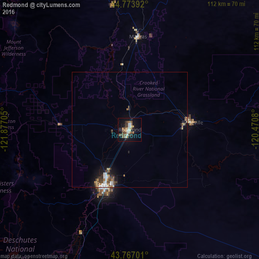
Analysis of Redmond night lights 2016
Square area 10x10 km:
 2.58%
2.58%90-99
4.7%80-89
1.52%70-79
2.88%60-69
3.48%50-59
5.45%40-49
6.06%30-39
2.73%20-29
1.97%10-19
24.24%0-9
44.39%Square area 50x50 km:
0.4%90-99
0.49%80-89
0.21%70-79
0.28%60-69
0.46%50-59
0.52%40-49
0.65%30-39
0.41%20-29
0.44%10-19
2.2%0-9
93.94%Clear (daylight) street map image can be seen on geolist.org.
Map coordinates:
44° 46' 26.1" North, 121° 52' 37.4" West
44° 16' 21.4" North, 121° 10' 26.1" West
43° 46' 1.2" North, 120° 28' 14.9" West
Some cities around Redmond sort by population:
• Bend
26.4 km =16.4 mi,  205°
205°
• Lebanon
140.8 km =87.5 mi,  282°
282°
• The Dalles
147 km =91.3 mi,  359°
359°
• Prineville
27.2 km =16.9 mi,  83°
83°
• Sweet Home
125 km =77.7 mi, 276°
• Stayton
141.2 km =87.7 mi,  294°
294°
• Madras
40.3 km =25 mi,  5°
5°
• Deschutes River Woods
34.5 km =21.4 mi, 205°
5747882 (p: 28,654)
Sources (retrieved 2019-11-25):
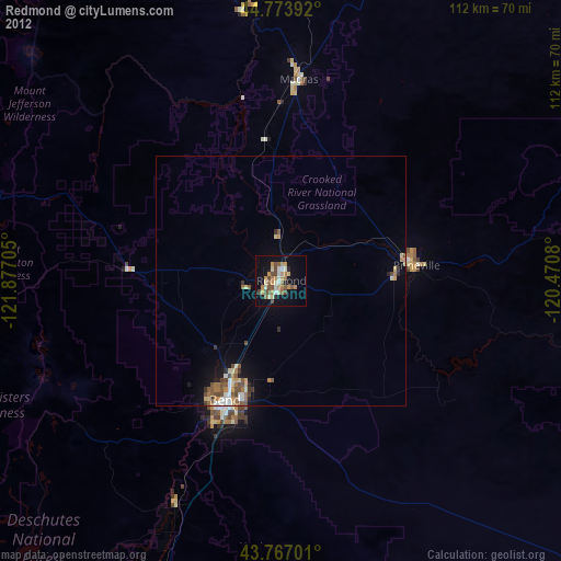
» Earth at Night: Flat Maps 2012, 2016