Beardstown night lights from space
Night Light of Beardstown (Illinois) from space (United States) Src. Average luminocity for 10x10km area is 11.4205% and for 50x50km: 1.3181%.
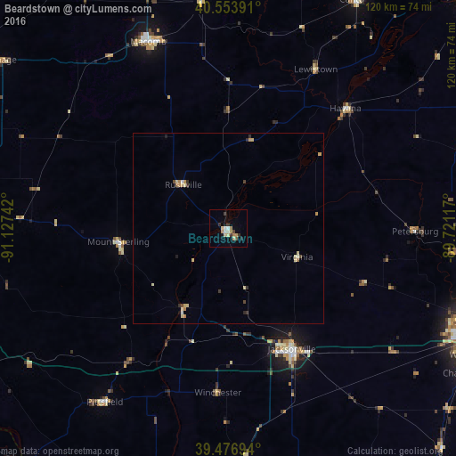
Analysis of Beardstown night lights 2016
Square area 10x10 km:
 0.97%
0.97%90-99
1.79%80-89
2.44%70-79
1.3%60-69
1.95%50-59
0.16%40-49
1.14%30-39
2.44%20-29
1.46%10-19
0.81%0-9
85.55%Square area 50x50 km:
0.05%90-99
0.17%80-89
0.42%70-79
0.2%60-69
0.18%50-59
0.04%40-49
0.17%30-39
0.23%20-29
0.16%10-19
0.11%0-9
98.27%Clear (daylight) street map image can be seen on geolist.org.
Map coordinates:
40° 33' 14.1" North, 91° 7' 38.7" West
40° 1' 3.2" North, 90° 25' 27.4" West
39° 28' 37" North, 89° 43' 16.2" West
Some cities around Beardstown sort by population:
• Springfield
70.8 km =44 mi,  109°
109°
• Quincy
84.5 km =52.5 mi,  263°
263°
• Pekin
90.3 km =56.1 mi,  47°
47°
• Jacksonville
35.7 km =22.2 mi,  152°
152°
• Macomb
53.4 km =33.2 mi,  336°
336°
• Hannibal
86.8 km =53.9 mi,  246°
246°
• Canton
68.6 km =42.6 mi,  28°
28°
• Chatham
72.2 km =44.9 mi,  121°
121°
4884282 (p: 5,738)
Sources (retrieved 2019-11-25):
» Earth at Night: Flat Maps 2012, 2016