Pekin night lights from space
Night Light of Pekin (Illinois) from space (United States) Src. Average luminocity for 10x10km area is 50.3847% and for 50x50km: 16.5418%.
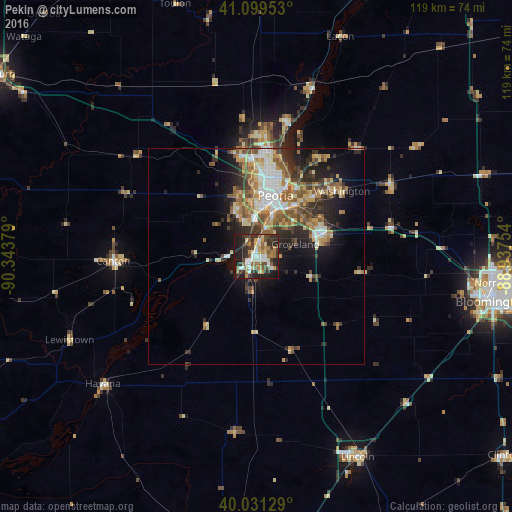
Analysis of Pekin night lights 2016
Square area 10x10 km:
 6.33%
6.33%90-99
10.39%80-89
4.87%70-79
6.33%60-69
9.9%50-59
6.82%40-49
7.95%30-39
14.94%20-29
16.56%10-19
15.91%0-9
0%Square area 50x50 km:
2.11%90-99
2.74%80-89
2.37%70-79
2.16%60-69
2.69%50-59
3.06%40-49
2.48%30-39
2.73%20-29
4.54%10-19
6.97%0-9
68.13%Clear (daylight) street map image can be seen on geolist.org.
Map coordinates:
41° 5' 58.3" North, 90° 20' 37.6" West
40° 34' 3.1" North, 89° 38' 26.4" West
40° 1' 52.6" North, 88° 56' 15.1" West
Some cities around Pekin sort by population:
• Peoria
14.7 km =9.1 mi,  17°
17°
• North Peoria
17.3 km =10.7 mi, 15°
• East Peoria
12.1 km =7.5 mi, 24°
• Washington
24.8 km =15.4 mi,  52°
52°
• Morton
16.1 km =10 mi,  71°
71°
• Bartonville
9.3 km =5.8 mi,  354°
354°
• Peoria Heights
20.8 km =12.9 mi, 15°
• Creve Coeur
9.8 km =6.1 mi,  25°
25°
4905599 (p: 33,223)
Sources (retrieved 2019-11-25):
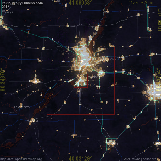
» Earth at Night: Flat Maps 2012, 2016