East Harlem night lights from space
Night Light of East Harlem (New York) from space (United States) Src. Average luminocity for 10x10km area is 99.2338% and for 50x50km: 86.6571%.
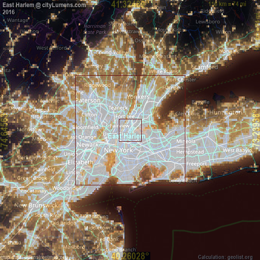
Analysis of East Harlem night lights 2016
Square area 10x10 km:
 71.27%
90-99
26.95%80-89
1.79%70-79
0%60-69
0%50-59
0%40-49
0%30-39
0%20-29
0%10-19
0%0-9
0%Square area 50x50 km:
47.69%90-99
19.89%80-89
6.01%70-79
7.45%60-69
7%50-59
3.49%40-49
2.03%30-39
2.19%20-29
2.69%10-19
1.57%0-9
0%Clear (daylight) street map image can be seen on geolist.org.
Map coordinates:
41° 19' 29.6" North, 74° 38' 44.3" West
40° 47' 41" North, 73° 56' 33" West
40° 15' 37" North, 73° 14' 21.8" West
Some cities around East Harlem sort by population:
• Manhattan
2.4 km =1.5 mi,  237°
237°
• Harlem
1.5 km =0.9 mi,  350°
350°
• Astoria
2.7 km =1.7 mi,  157°
157°
• Morningside Heights
2.4 km =1.5 mi,  315°
315°
• Mott Haven
2.3 km =1.4 mi,  46°
46°
• Cliffside Park
4.8 km =3 mi,  308°
308°
• Melrose
4.3 km =2.7 mi,  39°
39°
• Edgewater
4.6 km =2.9 mi, 322°
6332428 (p: 115,921)
Sources (retrieved 2019-11-25):
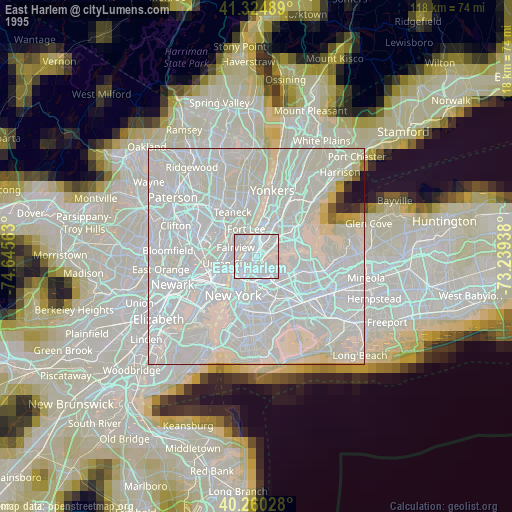
» NASA, Earths city lights 1995
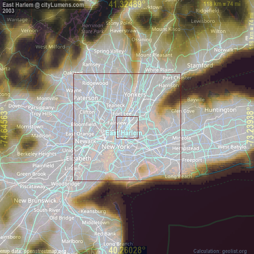
» NASA city lights 2003
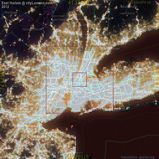
» Earth at Night: Flat Maps 2012, 2016