Manhattan night lights from space
Night Light of Manhattan (New York) from space (United States) Src. Average luminocity for 10x10km area is 99.5714% and for 50x50km: 86.7853%.
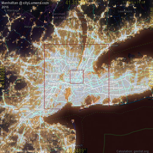
Analysis of Manhattan night lights 2016
Square area 10x10 km:
 80.52%
90-99
18.99%80-89
0.49%70-79
0%60-69
0%50-59
0%40-49
0%30-39
0%20-29
0%10-19
0%0-9
0%Square area 50x50 km:
47.85%90-99
20.18%80-89
6.34%70-79
7.46%60-69
6.29%50-59
3.1%40-49
1.95%30-39
2.1%20-29
2.97%10-19
1.75%0-9
0%Clear (daylight) street map image can be seen on geolist.org.
Map coordinates:
41° 18' 49.3" North, 74° 40' 9.8" West
40° 47' 0.3" North, 73° 57' 58.5" West
40° 14' 56" North, 73° 15' 47.3" West
Some cities around Manhattan sort by population:
• Harlem
3.2 km =2 mi,  32°
32°
• Astoria
3.3 km =2.1 mi,  112°
112°
• East Harlem
2.4 km =1.5 mi,  57°
57°
• Morningside Heights
3 km =1.9 mi,  6°
6°
• West New York
4.1 km =2.5 mi,  276°
276°
• Hell's Kitchen
2.9 km =1.8 mi,  225°
225°
• Fairview
4.3 km =2.7 mi,  319°
319°
• Guttenberg
3.3 km =2.1 mi,  286°
286°
5125771 (p: 1,487,536)
Sources (retrieved 2019-11-25):
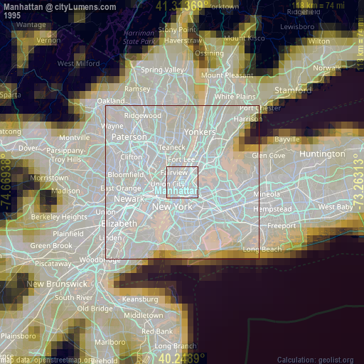
» NASA, Earths city lights 1995
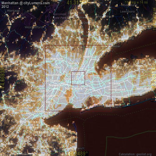
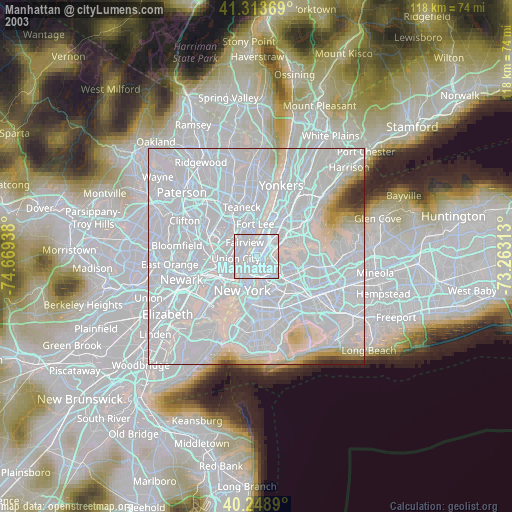
» NASA city lights 2003
» Earth at Night: Flat Maps 2012, 2016