Harlem night lights from space
Night Light of Harlem (New York) from space (United States) Src. Average luminocity for 10x10km area is 98.8486% and for 50x50km: 87.2164%.
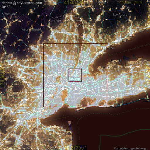
Analysis of Harlem night lights 2016
Square area 10x10 km:
 65.48%
90-99
30.95%80-89
3.06%70-79
0.51%60-69
0%50-59
0%40-49
0%30-39
0%20-29
0%10-19
0%0-9
0%Square area 50x50 km:
47.64%90-99
19.86%80-89
6.16%70-79
7.61%60-69
7.98%50-59
3.8%40-49
1.98%30-39
1.84%20-29
1.67%10-19
1.45%0-9
0%Clear (daylight) street map image can be seen on geolist.org.
Map coordinates:
41° 20' 16.6" North, 74° 38' 54.8" West
40° 48' 28.4" North, 73° 56' 43.5" West
40° 16' 24.8" North, 73° 14' 32.3" West
Some cities around Harlem sort by population:
• Manhattan
3.2 km =2 mi,  212°
212°
• East Harlem
1.5 km =0.9 mi,  170°
170°
• Morningside Heights
1.5 km =0.9 mi,  279°
279°
• Mott Haven
1.9 km =1.2 mi,  86°
86°
• Cliffside Park
3.9 km =2.4 mi,  293°
293°
• Morrisania
4 km =2.5 mi,  53°
53°
• Melrose
3.5 km =2.2 mi,  57°
57°
• Edgewater
3.3 km =2.1 mi,  309°
309°
5120034 (p: 181,259)
Sources (retrieved 2019-11-25):
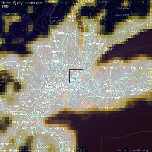
» NASA, Earths city lights 1995
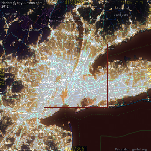
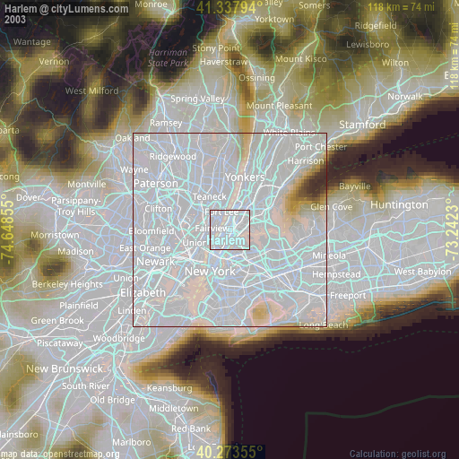
» NASA city lights 2003
» Earth at Night: Flat Maps 2012, 2016