Mott Haven night lights from space
Night Light of Mott Haven (New York) from space (United States) Src. Average luminocity for 10x10km area is 98.8095% and for 50x50km: 86.3557%.
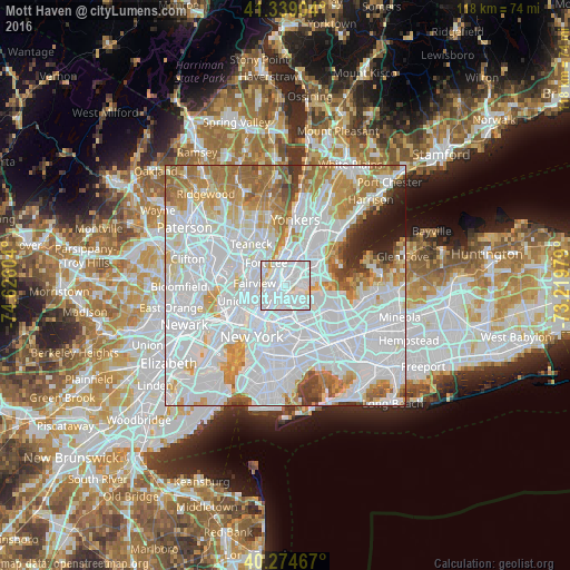
Analysis of Mott Haven night lights 2016
Square area 10x10 km:
 67.18%
90-99
28.57%80-89
3.74%70-79
0.51%60-69
0%50-59
0%40-49
0%30-39
0%20-29
0%10-19
0%0-9
0%Square area 50x50 km:
47.11%90-99
19.47%80-89
6.02%70-79
7.56%60-69
8.1%50-59
3.6%40-49
2.11%30-39
1.91%20-29
1.92%10-19
2.07%0-9
0.13%Clear (daylight) street map image can be seen on geolist.org.
Map coordinates:
41° 20' 20.5" North, 74° 37' 33.7" West
40° 48' 32.4" North, 73° 55' 22.5" West
40° 16' 28.8" North, 73° 13' 11.2" West
Some cities around Mott Haven sort by population:
• Harlem
1.9 km =1.2 mi,  266°
266°
• Astoria
4.2 km =2.6 mi,  188°
188°
• East Harlem
2.3 km =1.4 mi,  226°
226°
• Morningside Heights
3.3 km =2.1 mi, 271°
• Morris Heights
4.5 km =2.8 mi,  3°
3°
• Hunts Point
3.3 km =2.1 mi,  83°
83°
• Morrisania
2.6 km =1.6 mi,  31°
31°
• Melrose
2 km =1.2 mi, 31°
5127670 (p: 51,450)
Sources (retrieved 2019-11-25):
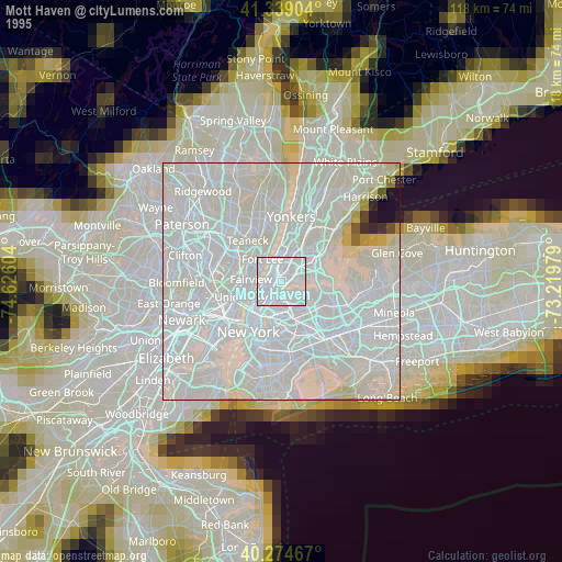
» NASA, Earths city lights 1995
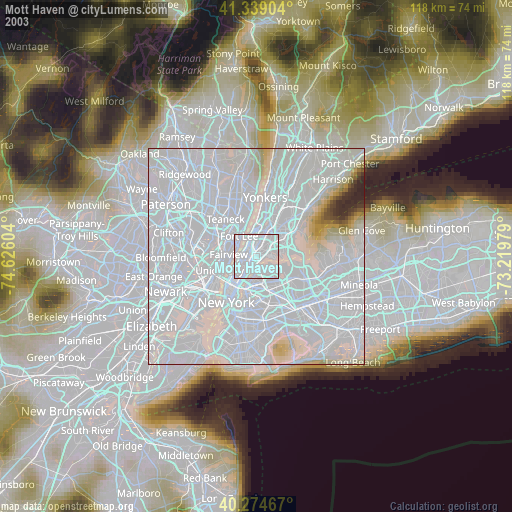
» NASA city lights 2003
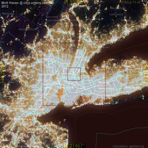
» Earth at Night: Flat Maps 2012, 2016