Paradise night lights from space
Night Light of Paradise (California) from space (United States) Src. Average luminocity for 10x10km area is 11.0119% and for 50x50km: 3.6416%.

Analysis of Paradise night lights 2016
Square area 10x10 km:
 0%
0%90-99
0%80-89
0.85%70-79
2.38%60-69
1.36%50-59
2.38%40-49
3.4%30-39
5.95%20-29
2.38%10-19
1.87%0-9
79.42%Square area 50x50 km:
0.27%90-99
0.38%80-89
0.26%70-79
0.75%60-69
0.62%50-59
0.7%40-49
0.51%30-39
0.62%20-29
0.87%10-19
2.91%0-9
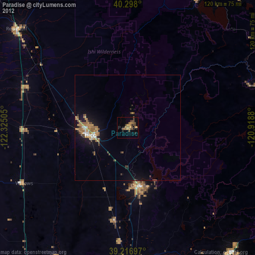
92.12%Clear (daylight) street map image can be seen on geolist.org.
Map coordinates:
40° 17' 52.8" North, 122° 19' 30.2" West
39° 45' 34.6" North, 121° 37' 18.9" West
39° 13' 1.1" North, 120° 55' 7.7" West
Some cities around Paradise sort by population:
• Chico
18.8 km =11.7 mi,  259°
259°
• Oroville
27.9 km =17.3 mi,  168°
168°
• Magalia
6.9 km =4.3 mi,  32°
32°
• Oroville East
30.3 km =18.8 mi,  155°
155°
• Thermalito
27.8 km =17.3 mi, 173°
• South Oroville
29.9 km =18.6 mi, 168°
• Durham
19.8 km =12.3 mi,  230°
230°
• Palermo
36.8 km =22.9 mi, 168°
5381002 (p: 26,476)
Sources (retrieved 2019-11-25):
» Earth at Night: Flat Maps 2012, 2016