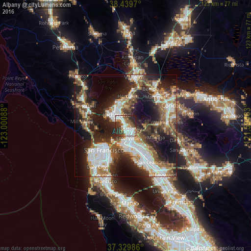
Albany night lights from space
Night Light of Albany (California) from space (United States) Src. Average luminocity for 10x10km area is 64.6607% and for 50x50km: 43.6584%.
Analysis of Albany night lights 2016
Square area 10x10 km:
 18.02%
90-99
18.02%80-89
4.87%70-79
5.19%60-69
5.19%50-59
11.53%40-49
6.33%30-39
13.31%20-29
15.1%10-19
2.44%0-9
0%Square area 50x50 km:
10.33%90-99
8.75%80-89
2.59%70-79
5.02%60-69
6.01%50-59
6.42%40-49
7.13%30-39
6.51%20-29
12.54%10-19
17.1%0-9
17.6%Clear (daylight) street map image can be seen on geolist.org.
Map coordinates:
38° 26' 22.9" North, 123° 0' 3.2" West
37° 53' 12.7" North, 122° 17' 51.9" West
37° 19' 47.5" North, 121° 35' 40.7" West
Some cities around Albany sort by population:
• Oakland
9.5 km =5.9 mi,  165°
165°
• Berkeley
2.8 km =1.7 mi,  127°
127°
• Richmond
7 km =4.3 mi,  321°
321°
• San Pablo
9.4 km =5.8 mi,  333°
333°
• El Cerrito
3.4 km =2.1 mi,  339°
339°
• Emeryville
6.3 km =3.9 mi, 169°
• Piedmont
9.1 km =5.7 mi,  140°
140°
• Kensington
3 km =1.9 mi,  30°
30°
5322850 (p: 19,735)
Sources (retrieved 2019-11-25):
» Earth at Night: Flat Maps 2012, 2016