San Pablo night lights from space
Night Light of San Pablo (California) from space (United States) Src. Average luminocity for 10x10km area is 72.8036% and for 50x50km: 35.1413%.
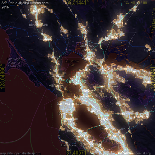
Analysis of San Pablo night lights 2016
Square area 10x10 km:
 22.73%
90-99
22.4%80-89
5.68%70-79
8.77%60-69
6.98%50-59
8.77%40-49
7.79%30-39
3.73%20-29
8.44%10-19
4.38%0-9
0.32%Square area 50x50 km:
7.97%90-99
6.06%80-89
2.14%70-79
4.06%60-69
4.37%50-59
5.52%40-49
6.37%30-39
5.68%20-29
11.14%10-19
16.57%0-9
30.12%Clear (daylight) street map image can be seen on geolist.org.
Map coordinates:
38° 30' 51.9" North, 123° 2' 55.2" West
37° 57' 43.7" North, 122° 20' 43.9" West
37° 24' 20.6" North, 121° 38' 32.7" West
Some cities around San Pablo sort by population:
• Richmond
2.9 km =1.8 mi,  183°
183°
• Hercules
7.9 km =4.9 mi,  39°
39°
• El Cerrito
6 km =3.7 mi,  150°
150°
• Albany
9.4 km =5.8 mi, 153°
• Pinole
6.2 km =3.9 mi, 41°
• El Sobrante
4.7 km =2.9 mi,  69°
69°
• Tara Hills
4.3 km =2.7 mi, 36°
• Kensington
8.1 km =5 mi,  135°
135°
5392508 (p: 30,407)
Sources (retrieved 2019-11-25):
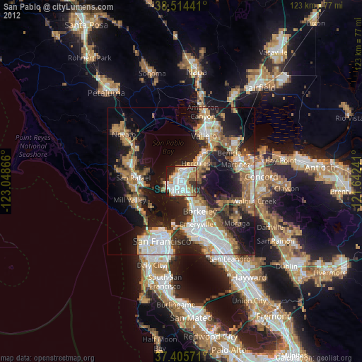
» Earth at Night: Flat Maps 2012, 2016