Oakland night lights from space
Night Light of Oakland (California) from space (United States) Src. Average luminocity for 10x10km area is 86.2551% and for 50x50km: 47.2426%.
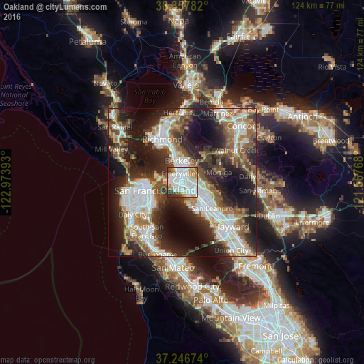
Analysis of Oakland night lights 2016
Square area 10x10 km:
 37.41%
90-99
29.08%80-89
4.08%70-79
8.5%60-69
8.33%50-59
2.89%40-49
3.23%30-39
4.93%20-29
1.53%10-19
0%0-9
0%Square area 50x50 km:
11.6%90-99
9.99%80-89
2.58%70-79
5.51%60-69
6.22%50-59
7%40-49
7.39%30-39
6.66%20-29
12.97%10-19
17.29%0-9
12.79%Clear (daylight) street map image can be seen on geolist.org.
Map coordinates:
38° 21' 28.2" North, 122° 58' 26.1" West
37° 48' 15.7" North, 122° 16' 14.9" West
37° 14' 48.3" North, 121° 34' 3.6" West
Some cities around Oakland sort by population:
• Berkeley
7.5 km =4.7 mi,  358°
358°
• Chinatown
12.1 km =7.5 mi,  265°
265°
• Alameda
5.1 km =3.2 mi,  149°
149°
• Albany
9.5 km =5.9 mi,  345°
345°
• Orinda
11.4 km =7.1 mi,  44°
44°
• Emeryville
3.3 km =2.1 mi,  337°
337°
• Piedmont
4.1 km =2.5 mi,  57°
57°
• Kensington
11.8 km =7.3 mi, 355°
5378538 (p: 419,267)
Sources (retrieved 2019-11-25):
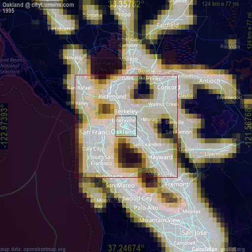
» NASA, Earths city lights 1995
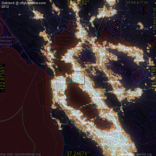
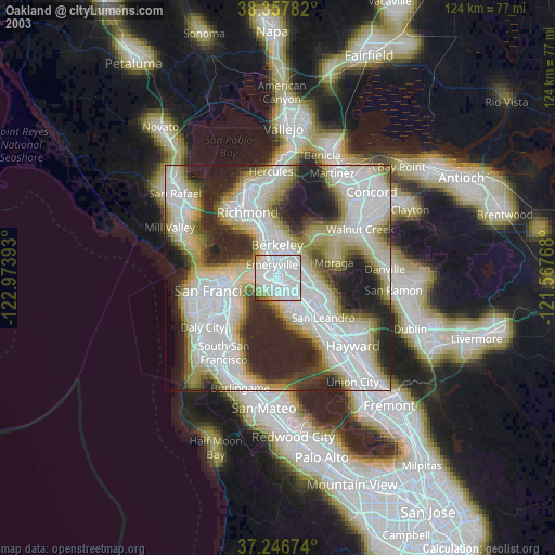
» NASA city lights 2003
» Earth at Night: Flat Maps 2012, 2016