El Cerrito night lights from space
Night Light of El Cerrito (California) from space (United States) Src. Average luminocity for 10x10km area is 65.6607% and for 50x50km: 41.2287%.
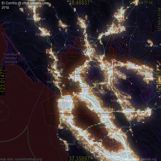
Analysis of El Cerrito night lights 2016
Square area 10x10 km:
 18.83%
90-99
18.83%80-89
3.9%70-79
5.52%60-69
5.03%50-59
11.69%40-49
6.17%30-39
14.61%20-29
14.29%10-19
1.14%0-9
0%Square area 50x50 km:
9.86%90-99
8.09%80-89
2.42%70-79
4.67%60-69
5.42%50-59
6.09%40-49
6.84%30-39
6.13%20-29
11.8%10-19
17.38%0-9
21.28%Clear (daylight) street map image can be seen on geolist.org.
Map coordinates:
38° 28' 6.1" North, 123° 0' 53.2" West
37° 54' 56.7" North, 122° 18' 41.9" West
37° 21' 32.3" North, 121° 36' 30.7" West
Some cities around El Cerrito sort by population:
• Berkeley
6 km =3.7 mi,  145°
145°
• Richmond
3.9 km =2.4 mi,  305°
305°
• San Pablo
6 km =3.7 mi,  330°
330°
• Albany
3.4 km =2.1 mi,  159°
159°
• El Sobrante
7 km =4.3 mi,  11°
11°
• Emeryville
9.7 km =6 mi,  166°
166°
• Tara Hills
8.7 km =5.4 mi,  357°
357°
• Kensington
2.8 km =1.7 mi,  102°
102°
5345623 (p: 23,549)
Sources (retrieved 2019-11-25):
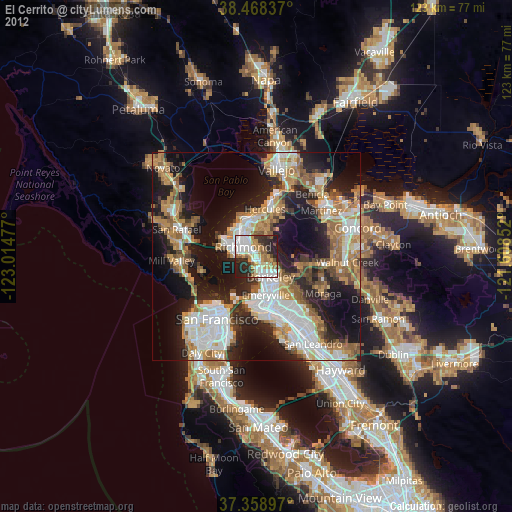
» Earth at Night: Flat Maps 2012, 2016